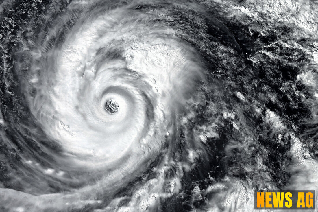
Florida Braces for Tropical Storms: What to Expect This July!
Stay updated on the 2025 Atlantic hurricane season: forecasts, potential developments, and storm activity impacting Florida.

Florida Braces for Tropical Storms: What to Expect This July!
As residents of Florida gear up for summer festivities, the 2025 Atlantic hurricane season stands at our doorstep, full of potential and uncertainty. The names for this season, stretching from Andrea to Wendy, have officially been set, and with conditions ripe for development, it’s time to keep an eye on the skies.
The National Hurricane Center is currently tracking several tropical waves and a disturbance in the western Caribbean, with increasing concern over potential tropical development. On June 27, showers and thunderstorms were expected across much of Florida, as a tropical disturbance in the northwestern Caribbean holds a low chance of developing. Specifically, forecasters highlight a 10% chance of formation within 48 hours, rising to 20% over the next week. Next in line for a name in the Atlantic is the long-awaited Barry.
What to Expect
The Atlantic hurricane season runs annually from June 1 until November 30, with the peak activity typically observed around September 10. Predictions from NOAA signal a lively season ahead. The 2025 North Atlantic Hurricane Season Outlook, released by NOAA’s Climate Prediction Center, suggests a significant likelihood of above-normal storm activity this year, with a 60% chance to be exact. The outlook emphasizes that, although predictions are probabilistic, coastal residents should always be prepared for hurricanes, given that low-activity years can still yield powerful storms.
Forecasters are expecting from 13 to 19 named storms, with 6 to 10 possibly becoming hurricanes and 3 to 5 of those reaching major hurricane status. As reported by AccuWeather, warm water temperatures and reduced wind shear are key factors contributing to this heightened activity. Furthermore, a cold front is anticipated to stall off the southeast coast, which could also enhance tropical development. With the Fourth of July approaching, it’s wise for locals to brace for weather disruptions as showers and thunderstorms may affect holiday plans.
Enhanced Forecasting Tools
In light of the increasing storm activity, NOAA’s Atlantic Oceanographic and Meteorological Laboratory (AOML) is stepping up its game. Collaborating with various institutions, AOML has enhanced their forecasting capabilities through an upgraded Hurricane Analysis and Forecast System (HAFS). This next-generation system aims to improve predictions for hurricane tracks, intensity, and other crucial metrics—crucial upgrades as we navigate a season with a high potential for active weather.
The new technologies being rolled out this year, including small drone systems and underwater gliders, are expected to provide deeper insights into storm behavior and intensification patterns. These advancements are sure to bolster forecasts and provide a clearer picture of what residents might expect as the summer rolls on.
Conclusion
While the 2025 hurricane season promises considerable activity, vigilance and preparation are essential. NOAA’s comprehensive approach highlights the unpredictability of storm patterns but reinforces the importance of readiness, regardless of forecasts. For ongoing updates and detailed outlooks, make sure to keep an eye on Jacksonville.com, CPC.NCEP.NOAA.gov, and AOML.NOAA.gov.

 Suche
Suche
 Mein Konto