
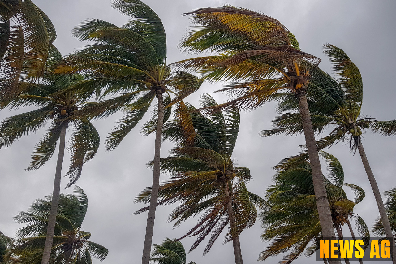


As Floridians gear up for the Fourth of July weekend, the atmosphere is thick with anticipation—and a hint of anxiety. The National Hurricane Center reports that there’s a 40% chance of a tropical or subtropical depression forming near Florida, a prospect that could lead to heavy rain across the state. By the weekend, residents may be looking at as much as six inches of rain in certain areas, regardless of the system’s development. It seems that the summer weather is determined to make a statement this year.
In addition to this brewing storm, Hurricane Flossie has gained attention as a robust Category 3 storm in the eastern Pacific with impressive sustained winds of 115 mph. Despite its strength, Flossie is drifting away from land and currently posing no immediate threat to coastal regions. However, the outer bands of Flossie are expected to dump heavy rainfall in parts of Mexico, with warnings of life-threatening flooding and mudslides in the affected regions. Interestingly, the term „tropical cyclone“ encompasses all sorts of systems forming over tropical waters, from depressions to hurricanes, each defined by their wind speeds and intensity, as detailed by the National Hurricane Center.
What’s on the Horizon?
The National Hurricane Center indicates that along with Flossie, an area of low pressure is likely to develop near the southeastern U.S. Atlantic or Gulf coasts by the weekend. But don’t let that fool you. The environmental conditions for development are less than favorable at the moment. Wind shear and dry air—made even drier by Saharan dust—are in play, posing challenges for storm formation. Despite the low chance of formation in the short term, observers are urged to stay alert, as the probability increases to 40% over the next week.

As we enter the heart of hurricane season, which runs from June 1 to November 30, it’s vital to remember that peak activity generally hits around September 10. As we’ve seen, this year’s Atlantic hurricane season is proving to be lively right out of the gate, with Chantal set to be the next named storm.
Weather Patterns and Hurricane Seasons
The characteristics of tropical cyclones can vary widely, but knowing their patterns helps prepare communities for potential impacts. Tropical cyclones develop as organized systems of clouds and thunderstorms over warm waters, rotating counterclockwise in the Northern Hemisphere. The hurricane season in the Eastern Pacific, which starts earlier on May 15, typically produces around 15 named storms. It’s a reminder that there’s a lot of ocean action going on out there, as Flossie is just one of six storms to form in the Eastern Pacific this year, with conditions that continue to fluctuate.
As we navigate these uncertain waters, both figuratively and literally, remember that it’s always wise to stay informed. Monitor local weather updates, prepare your homes, and keep your loved ones close. The weather may be unpredictable, but with the right information, we can face whatever comes our way this hurricane season. So, ask yourself—how prepared are you for what the skies might bring?
Stay safe, Florida. We’ve got this.