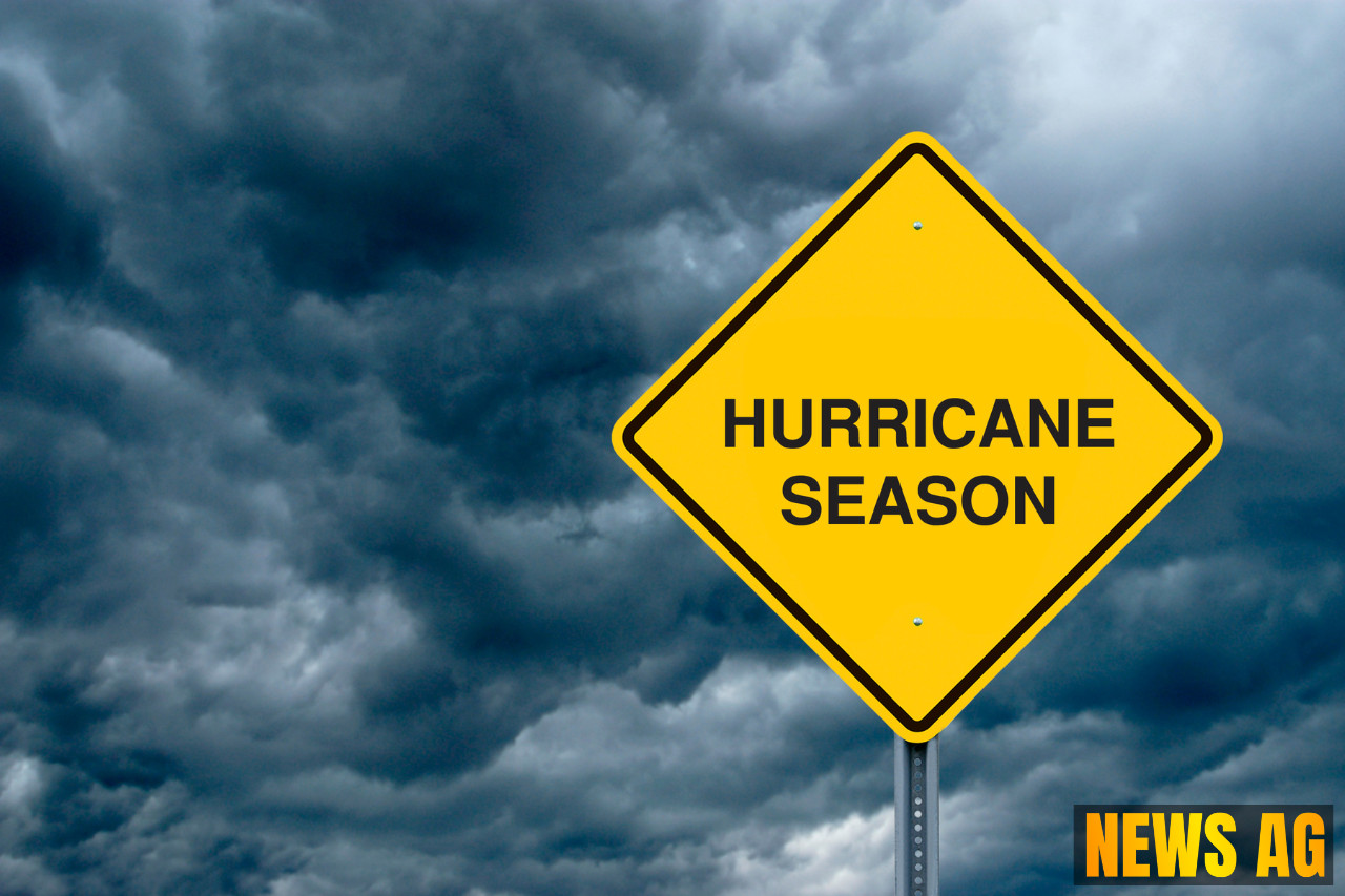
As Floridians brace themselves for the ongoing hurricane season, the latest reports indicate some unsettling developments on the horizon. Today, July 15, 2025, the stormy skies are casting a gloomy shadow over central Florida, as officials closely monitor Invest 93L, a low-pressure system off the state’s east coast. According to Courier-Journal, this system carries a 40% chance of tropical development over the next week and is expected to move westward across the Florida Peninsula into the Gulf of Mexico.
Residents should be prepared for heavy rainfall, thunderstorms, and the risk of localized flooding as the system makes its way through the state. The National Hurricane Center noted that as of 8:00 AM EDT, the system has been producing disorganized showers and thunderstorms—an ominous sign of what’s to come. The situation is further complicated by rough surf and rip currents, which could pose a danger to beachgoers.
Urgent Recommendations
Dr. Michael Brennan, Director of the National Hurricane Center, has emphasized the importance of preparedness during this busy hurricane season, urging Floridians to get ready. As detailed by the Tennessean, recommended actions include assembling disaster supplies, developing evacuation plans, and checking flood insurance, which has a 30-day waiting period before it becomes effective. In addition, families should create communication plans and reinforce their homes against potential hurricane impacts.
The formation of a tropical depression could occur later in the week if the system remains offshore, as environmental conditions are generally favorable for development. Currently, the National Hurricane Center is using robust computer models to track the storm, reminding everyone that while the path may shift, vigilance is key.
Historical Context
It’s crucial to remember that we are well into the 2025 Atlantic hurricane season, which runs from June 1 to November 30. This year has already seen three named storms—Andrea, Barry, and Chantal—with the next one, named Dexter, waiting in the wings. Historically, the fourth named storm typically arrives by mid-August, leaving us with just a month to prepare for potential threats.
For anyone unfamiliar with the term, invests like 93L are low-pressure areas observed for possible development into tropical storms or depressions. It’s worth noting that hurricanes generally form over warm ocean waters with temperatures exceeding 80°F, conditions that are prevalent during this time of year.
So, what’s next for those in the Sunshine State? As the system approaches, Florida residents can expect increased rain chances and additional weather alerts signaling severe weather risks. Acknowledging these warnings and preparing accordingly can make all the difference.
While there are no immediate threats classified as hurricanes, the National Hurricane Center is keeping a close eye on Invest 93L, which may soon change the game for many in Florida. Stay tuned for further updates as we navigate through this unpredictable hurricane season.


