Hurricane Erin Strengthens: Category Four Threatens Northern Caribbean
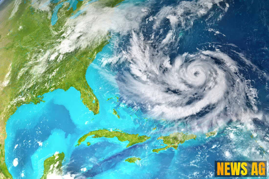
Hurricane Erin has intensified to Category Four near Anguilla, prompting advisories for nearby islands as new systems form off the U.S. coast.

Hurricane Erin Strengthens: Category Four Threatens Northern Caribbean
The hurricane season is gripping the Caribbean and parts of the southeastern United States as Hurricane Erin has escalated into a formidable Category Four hurricane. As of August 16, 2025, Erin is packing maximum sustained winds of 145 MPH and is currently moving northwest at a clip of 20 MPH. At 120 miles northeast of Anguilla, the storm is positioned to potentially impact a number of nearby islands and coastal areas.
A Tropical Storm Watch is in effect for St. Martin, St. Barthelemy, and Sint Maarten, with the possibility of tropical storm conditions within 12 hours. Residents in the northern Leeward Islands, Virgin Islands, Puerto Rico, Turks and Caicos, and southeastern Bahamas should stay alert and monitor developments closely as Erin bears down. Heavy rainfall between 2 to 4 inches—possibly reaching 6 inches in isolated areas—is expected, raising the risk of flash flooding and landslides in these regions. Additionally, hurricane-force winds extend 30 miles from the center, while tropical-storm-force winds spread out to 125 miles, mainly north of the storm center. The minimum central pressure is estimated at 935 mb (27.61 inches), indicating a powerful system.
Conditions Ahead
As Hurricane Erin continues its path, it is also triggering dangerous swells that could impact not just the northern Leeward Islands and Virgin Islands but also Puerto Rico, Hispaniola, and Turks and Caicos. These areas could face life-threatening surf and rip currents, making it essential for beachgoers to exercise extreme caution.
Additionally, a new system is forming off the coast of North Carolina, generating disorganized shower activity. The formation chance for this low-pressure area remains low, currently assessed at just 10% through the next 48 hours as well as for the next week. However, this unexpected development can still shift and evolve quickly, so vigilance is critical.
Monitoring the Situation
Keeping track of these evolving weather patterns can be daunting, but resources are available. The National Hurricane Center provides a variety of imagery to help visualize these systems. Their satellite imagery includes types such as GeoColor, Visible, Shortwave-IR, Infrared, and Water Vapor. This can be invaluable for those who want to stay informed about storm progression and possible changes in trajectory. Furthermore, updates on imagery are available every 30 minutes for specific regions, including the Atlantic and Gulf of America, to keep everyone well-informed. For an in-depth look at current satellite conditions, visit the NHC’s satellite imagery page.
As communities await the storm’s impact, we’re reminded of the necessity of preparedness and safety. Whether it’s securing property or simply staying updated with reliable sources of information, every precaution is vital. The storm may be fierce, but a well-prepared community is stronger.

 Suche
Suche
 Mein Konto