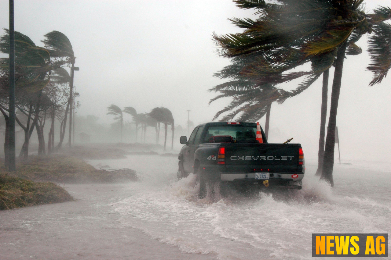
As we dive into the last stretch of August, the weather in Florida, particularly on this day, August 27, 2025, presents a blend of heat and storms. A trough stretching across the eastern U.S. is helping to keep humidity and temperatures lower in many parts of the country, yet the Sunshine State seems to be a different story. According to CBS 12, a stalled frontal boundary has turned our conditions hot, humid, and primes the stage for stormy weather right up to the end of the month.
This Wednesday morning greeted us with light showers inland, but a mix of sun and clouds has been promised as the day unfolds. With afternoon highs reaching into the lower to mid-90s, Floridians are reminded to remain cautious. The heat index is set to soar, with expected values ranging between 100 to 105 degrees, prompting a Heat Advisory for Broward and Miami-Dade counties.
A Stormy Afternoon Awaits
As the sea breeze pushes inland, brace yourselves for a wave of afternoon showers and thunderstorms. The moisture pooling in our region could lead to some hefty rain. CBS 12 warns that these daily storms may be slow-moving, creating a heightened risk for street flooding, especially along our east coast metro areas. The Treasure Coast is under abnormally dry conditions, while the Palm Beaches are in the grip of severe to extreme drought—making the forecasted rain somewhat of a double-edged sword.
Turn to Florida Disasters for a closer look at the statewide conditions. They report that a weak cold front has moved through North Florida, offering a brief respite from that sticky summer air. While mostly dry conditions are expected up north, central and southern parts of the state are bracing for increased shower and thunderstorm activity as this front stalls. Rain chances are climbing briskly—from 45% to 80% during the peak heating of the day. Storms in these regions are likely to bring not just rain, but gusty winds and a flash of lightning that could surprise unwary residents.
A Look at Our Climate
In general, Florida’s climate is both sub-tropical and tropical, with mild winters and sidestepping into some steamy summers. According to Climate to Travel, from June through September, the state is often drenched in high humidity with frequent thunderstorms capturing our attention. Known for being the U.S. state most affected by lightning, Florida’s summer storms are a regular event. However, just as the summer’s excess heat might cool off by Labor Day weekend, it’s crucial to remember that the peak of the hurricane season officially stretches from August to October.
Temperatures here can swing widely, with summer highs reaching between 88°F to 91°F during the day. Nighttime lows might dip to a breezy 70°F in the north but stay toasty in the Keys. That said, as we navigate through potentially stormy weather today, let’s remember: these brief showers could lead to much-needed wetness, especially for those parts of the state languishing under drought conditions.
As we look out for the heat advisories and storm predictions, we must remain vigilant while also appreciating the cycle of weather that defines Florida’s charm. Whether it’s seeking storms or sunshine, there’s always something to be said for the unpredictable nature of the Florida climate.


