
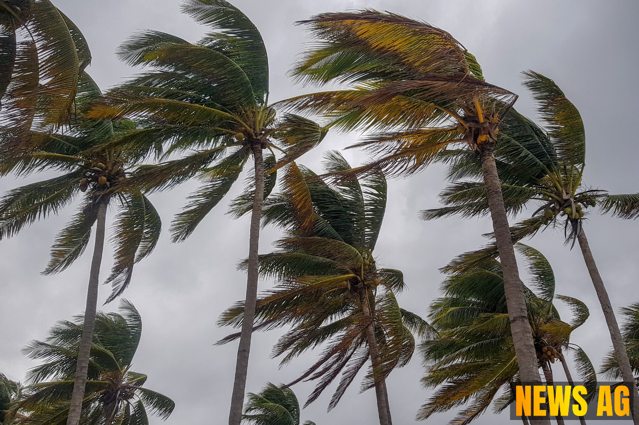


As the Atlantic hurricane season unfolds, residents in the Caribbean are bracing themselves for Hurricane Erin, which has already sent shockwaves across the region. As of August 17, 2025, Erin has rapidly intensified to become the first Atlantic hurricane of the year, showcasing the volatile nature of these powerful storms. Initially reaching Category 5 status, it has since weakened to a Category 4, boasting maximum sustained winds of 150 mph (240 kph) as it moves westward at 15 mph (24 kph), with its center positioned about 150 miles (235 kilometers) northeast of San Juan, Puerto Rico. Fortunately, the storm is not currently forecasted to hit land directly, but it still poses potential threats of heavy rainfall and flooding to nearby islands, prompting concerns among local authorities.
The National Hurricane Center has issued tropical storm watches for several locations, including St. Martin, St. Barts, and the Turks and Caicos Islands. Residents are urged to remain vigilant as heavy rains might trigger flash floods, landslides, and mudslides in vulnerable areas. Approximately 130,000 customers in Puerto Rico have faced power outages, and more than 200 FEMA employees have been dispatched to assist with preparedness efforts. The readiness doesn’t stop there; 367 shelters across Puerto Rico have been inspected and are on standby for potential use.
Climate Concerns and Rapid Intensification
Hurricane Erin has become a focal point for discussions around climate change and its impacts on weather events. Hurricane specialists, like Michael Lowry, have expressed that the rapid speed at which Erin intensified is unusual for this time of year, a phenomenon increasingly associated with rising sea temperatures and atmospheric moisture due to climate change. In fact, only four other Category 5 hurricanes have been recorded in the Atlantic by mid-August, raising eyebrows and igniting discussions about storm patterns.

The Atlantic hurricane season, which spans from June 1 to November 30, typically brings a flurry of storms each year. According to NOAA, the average is about twelve hurricanes in the Atlantic basin, with predictions indicating that this year may see between six to ten hurricanes, three to five of which could escalate to significant classifications. Climate change not only extends the duration and intensity of storms but has also shown a correlation with growing ocean temperatures, making conditions favorable for storm development. Interestingly, statistics have shown that the occurrence of Category 4 and 5 hurricanes has doubled since the year 2000, a trend that demands our attention.
Preparedness is Key
As Erin churns in the Atlantic, Floridians are starting to feel the effects of its powerful rip currents, which may reach the U.S. East Coast. Officials recommend that those in coastal areas stay informed about the changing conditions and prepare for potential local hazards. With prepared public shelters in the Bahamas and proactive advisories being circulated, communities are reminded of the essential steps they can take to safeguard themselves against such formidable storms.
As we navigate through hurricane season, a little preparedness goes a long way. Residents should make plans well in advance, know their evacuation routes, and have emergency kits readily available. The realities of tropical cyclones, as outlined by the NOAA, remind us that while hurricanes can develop at nearly any time, the often volatile and destructive nature of these storms requires that we stay informed and ready.
In summary, Hurricane Erin serves as a stark reminder of the power of nature and the importance of community readiness. As we’ve seen, these storms don’t just signify bad weather; they carry the potential for massive disruption and disaster. Let’s heed this lesson and make the necessary preparations to ensure safety in the face of nature’s fury.