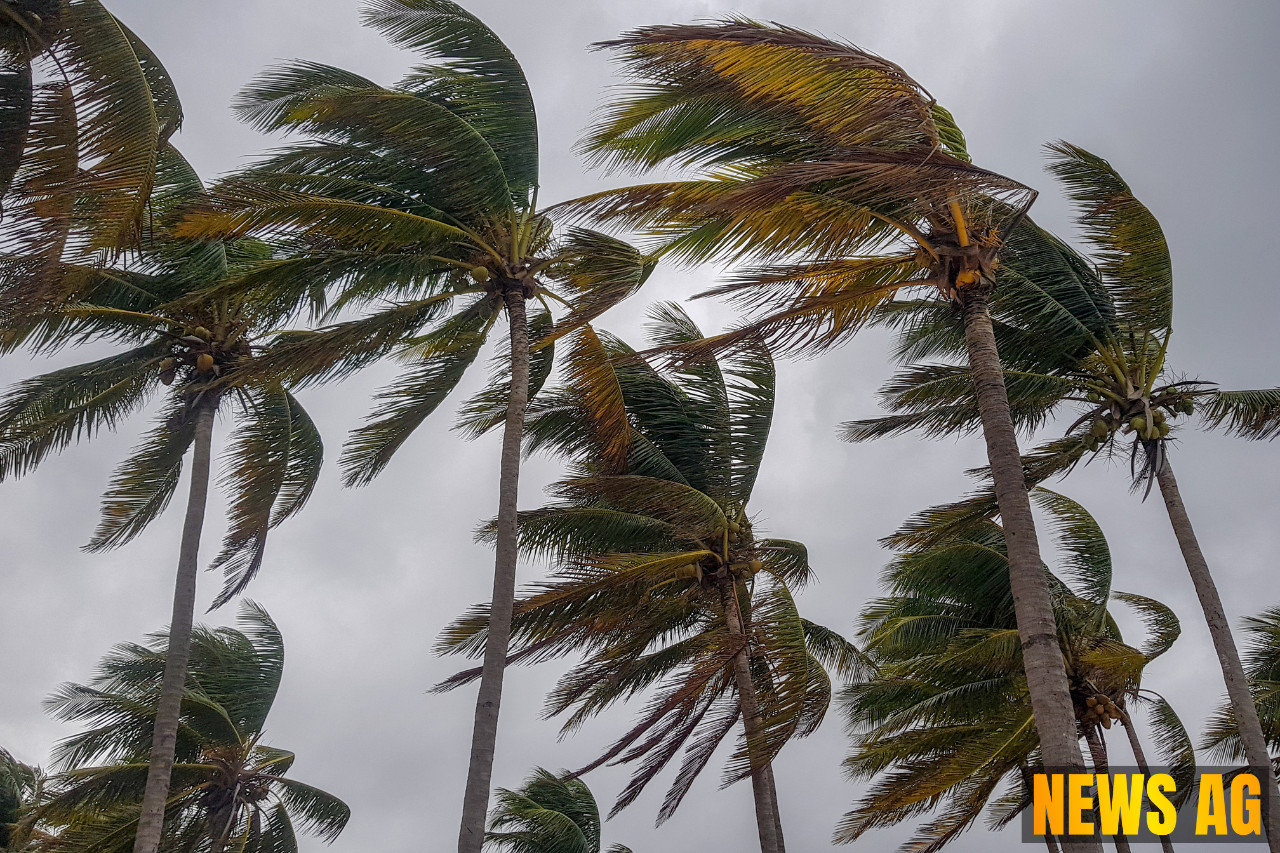
As we step into June, Florida finds itself at the threshold of the Atlantic hurricane season, which runs from June 1 to November 30. With tropical storms sprouting like wildflowers in the Sunshine State, this month is infamous for its chaotic weather patterns. According to WFSU, June often brings messy storms that shake up Florida and the Southeast, and there’s no hiding from the fact that we have already been advised to keep our weather apps handy.
Water temperatures are critical to this atmospheric dance; storms need at least 80°F to thrive, along with organized systems and minimal wind shear. The Gulf of Mexico and far western Atlantic are hotspots for storm activity during this time. Historically, June has seen its fair share of troubles, with notable storms like Debby in 2012 and Andrea in 2013 causing significant rainfall across the region. These storms, while often weak and disorganized, remind us that weather can change its face at any moment, painting Florida in different shades of chaos.
What to Expect This Season
This year, anticipation is high as the NOAA reports a 60% chance of an above-normal hurricane season. They predict between 13 and 19 named storms, with forecasts suggesting 6 to 10 will grow strong enough to be classified as hurricanes, including 3 to 5 major hurricanes. The folks at Colorado State University back this up with their own projections, estimating up to 17 storms, with 9 expected to become hurricanes, including 4 major ones. With neutral conditions in the El Niño–Southern Oscillation supervising the stage, the combination of warmer ocean temperatures, weak wind shear, and high West African Monsoon activity spells a recipe for potential storms ready to rumble.
Monitoring ensures that we are aware of tropical waves making their way westward toward the Americas. While some may view the Saharan dust as a bother, it does serve a purpose by cooling ocean temperatures and reflecting sunlight, thereby suppressing storm development. But with the warmer sea surface temperatures this year, the necessary conditions for hurricanes are becoming fertile ground for their creation.
Preparing for the Storms
As residents of Florida, it’s time to roll up our sleeves and prepare. The essential preparations should include reviewing local evacuation zones and having a clear evacuation plan. It’s also wise to gather an emergency kit with essentials to last a week—think food, water, and medications. Ensuring that your insurance policies, especially those covering floods, are adequate could make a world of difference in case a storm makes landfall. Importantly, keep important documents safe and share copies with family members, so everyone stays informed and ready.
For those wondering what a tropical cyclone really is, it’s characterized as a rotating, organized system of clouds and thunderstorms. Depending on their wind speeds, they fall into different categories, ranging from tropical depressions to hurricanes and major hurricanes. Familiarizing ourselves with this classification helps us understand what we’re dealing with as the hurricane season unfolds. Generally, the peak of hurricane activity in the Atlantic is around September 10, but as history shows, June and July can also deliver their fair share of surprises.
This hurricane season is already living up to its reputation, and as June heats up, the heat from the ocean waters will continue to stoke the fires of tropical development. Keeping watch on the horizon will be essential. Remember, there’s always something to be said for preparation; when it comes to our beloved Florida, being ready can make all the difference.
