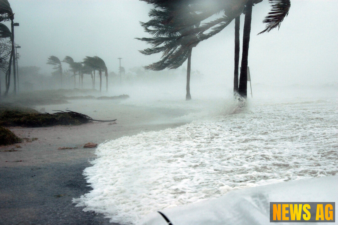
Tropical Storm Erin Forms: Major Hurricane Threat Looms for East Coast
Tropical Storm Erin formed on August 11, 2025, posing risks as it intensifies. Track updates, warnings, and safety measures included.

Tropical Storm Erin Forms: Major Hurricane Threat Looms for East Coast
On Monday morning, August 11, 2025, Tropical Storm Erin formed, and it’s making quite a stir in the Atlantic. Erin sprouted from a system that churned across the Cabo Verde Islands and is expected to escalate into a major hurricane, as reported by Boca News Now. With winds initially clocked at 40 knots (about 45 mph) and a westward movement of 17 knots (approximately 19.5 mph), it’s clear that Erin is on the move, with a mid-level ridge in the subtropical Atlantic influencing its path.
Forecast models suggest that Erin could shift direction to a more poleward trajectory by the end of the forecast period. However, there’s definitely a bit of uncertainty lurking here; while the short-term intensity forecast might look sketchy due to Erin’s small circulation and marginal sea-surface temperatures (ranging from 26 to 27°C), we can expect vertical wind shear to remain low (5-10 knots) for the next 72 hours. As the days progress, the sea-surface temperatures are expected to rise, maybe giving Erin a little boost in intensity.
Tracking the Storm
The National Hurricane Center (NHC) has put out a detailed forecast, showing that by the end of the forecast period (that’s about 120 hours from now), Erin could be packing winds up to 100 knots (approximately 115 mph). According to a report from the NHC, forecast positions and wind speeds are as follows:
| Time | Position (Lat, Long) | Wind Speed (KT, MPH) |
|---|---|---|
| Initial | 17.4N 28.0W | 40 KT (45 MPH) |
| 12 hours | 17.5N 31.2W | 45 KT (50 MPH) |
| 24 hours | 17.4N 35.1W | 50 KT (60 MPH) |
| 36 hours | 17.1N 38.7W | 55 KT (65 MPH) |
| 48 hours | 17.1N 41.7W | 60 KT (70 MPH) |
| 60 hours | 17.4N 45.0W | 70 KT (80 MPH) |
| 72 hours | 18.0N 48.4W | 80 KT (90 MPH) |
| 96 hours | 19.6N 54.0W | 90 KT (105 MPH) |
| 120 hours | 21.5N 60.0W | 100 KT (115 MPH) |
For those in the storm’s projected path, it’s important to stay informed. The NHC offers an interactive map for tracking the storm and displays warnings through a color-coded system: red for hurricane warnings, pink for hurricane watches, and blue for tropical storm warnings. There’s also an orange circle marking Erin’s current position along with dots indicating the forecasted track of the storm, with forecasts documented at intervals that reflect its tropical or extratropical state, as outlined by the NHC at nhc.noaa.gov.
Preparing for Potential Impacts
As we brace for the impacts of Erin, remember safety takes precedence. During hurricane season, the NOAA National Hurricane Center issues advisories every six hours when a tropical storm forms. In the event of coastal watches and warnings, those advisories are put out every three hours. Follow local officials’ directives via TV, radio, or cell phone, and be ready to evacuate if ordered.
According to the warnings from NOAA, we could see life-threatening storm surge inundation expected within 36 hours, not to mention hurricane conditions with winds exceeding 74 mph. For those who may not be aware, an Extreme Wind Warning indicates that incredibly dangerous sustained winds of 115 mph or more are likely to hit within the hour, so seeking immediate shelter is crucial.
Keep an eye on the updates and ensure you’re prepared. Tropical Storm Erin might just be the beginning of an exciting weather season ahead!

 Suche
Suche
 Mein Konto