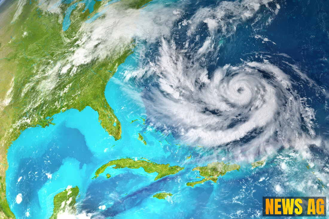
Tropical Storm Erin: Could It Become a Major Hurricane This Week?
Tropical Storm Erin forms in the Atlantic, posing potential threats to Florida as it moves westward. Stay updated on its path and impact.

Tropical Storm Erin: Could It Become a Major Hurricane This Week?
Tropical Storm Erin has surfaced in the Atlantic Ocean, a development that grabbed attention on August 11, 2025. Forming west of the Cabo Verde Islands, Erin is currently packing maximum sustained winds near 45 mph and is moving westward at about 21 mph. The storm is gaining momentum, and forecasters from the National Hurricane Center caution that it is expected to keep trekking west for several days.
What’s particularly intriguing is the storm’s anticipated path. Long-range forecast models suggest that Erin may gradually veer north after it makes its way north of the Leeward Islands next week. However, the timing and extent of this turn remain uncertain. It’s anyone’s guess whether the storm poses a threat to Florida or the U.S. mainland, but forecasters note that cooler waters and dry air in the vicinity could hinder rapid strengthening initially. On the flip side, warmer waters and more favorable atmospheric conditions could allow for a quicker intensification later in the week, possibly even elevating Erin to a major hurricane status.
Tracking Erin
The National Hurricane Center has rolled out an interactive map to track Tropical Storm Erin. This tool is particularly useful for residents in areas that might be affected by the storm, which could include hurricane warnings (indicated in red), hurricane watches (in pink), and various levels of tropical storm warnings (shown in blue and yellow). An orange circle marks the cyclone’s center, helping keep residents aware of its movement. Notably, historical data suggests that storm paths typically remain within the forecast cone 60-70% of the time.
Forecasters are keeping a close eye on Erin’s potential to strengthen. They predict that Erin could morph into a hurricane by August 13 and might be classified as a major hurricane by August 16, boasting winds reaching as high as 115 mph. With the Atlantic hurricane season running until November 30 and peak activity anticipated around September 10, this storm serves as a reminder of the season’s intensity.
Additional Areas of Concern
In addition to monitoring Erin, forecasters are also eyeing several other systems in the Atlantic. The USA Today highlighted that two additional weather waves are being watched for possible tropical development. An area referred to as Invest 96L is currently moving north in the central Atlantic, though it carries a mere 10% chance for further development. There’s also a non-tropical low pressure system near Nova Scotia tracking a similar low chance for growth.
As residents of Florida look toward the horizon, it’s crucial to stay informed. With the unpredictability of tropical cyclones, knowledge is power. As always, officials are urging preparedness as we enter the heart of hurricane season.

 Suche
Suche
 Mein Konto