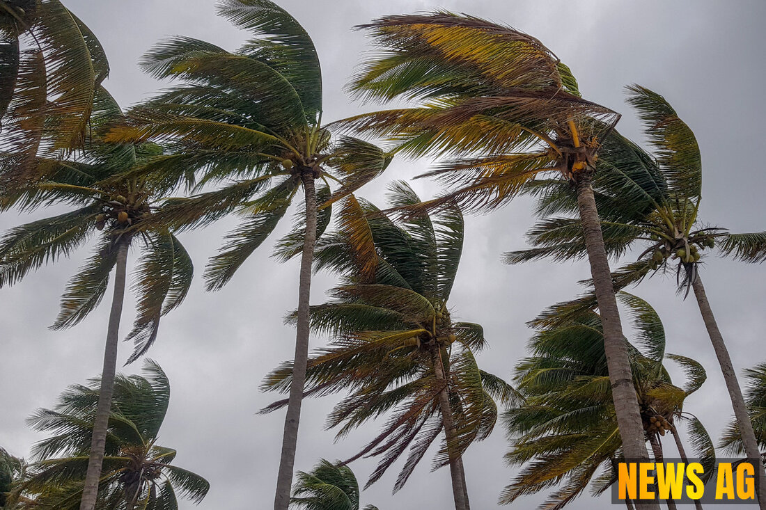
Tropical Storm Erin Sparks Devastating Floods, Warns of Hurricane Threat
Tropical Storm Erin forms in the Atlantic, causing flooding in Cabo Verde. Monitoring its path toward the U.S. and Mexico.

Tropical Storm Erin Sparks Devastating Floods, Warns of Hurricane Threat
As we plunge into the depths of August, Tropical Storm Erin has emerged as a significant player in the 2025 Atlantic hurricane season. Forming in the eastern Atlantic Ocean, it’s now the fifth named storm of the season, following a troubling trajectory that has already wreaked havoc in the Cabo Verde Islands, where at least six lives have been lost due to intense flooding. Tragically, four of the deceased were children, underscoring the storm’s devastating impact on these communities.
According to Newsweek, Erin began to take shape on Monday and has been projected to gradually intensify, possibly reaching hurricane status by week’s end. Despite its potential, current water temperatures—hovering around 78°F—are not ideal for robust development, and Erin may encounter further obstacles due to surrounding Saharan dust.
The Instagram of Storms
Here in Florida, we watch with cautious interest as Erin’s predicted path shifts westward, possibly towards the Caribbean and the Southeastern U.S. coast. Though early models suggest it may not strike the U.S. directly, it is vital to remember that storms like Erin can still cause considerable destruction if they do veer off course. The National Hurricane Center (NHC) has already begun issuing advisories, warning residents to prepare as the hurricane season peaks.
The flooding in Cabo Verde has created a dire situation, with roads blocked, fallen trees littering the landscape, and widespread power outages impacting daily life. Local officials, including the mayor’s office and Civil Defense, are actively assessing the damage while expressing condolences to the grieving families. The heavy rainfall attributed to Erin has left homes and commercial buildings severely affected, a poignant reminder of nature’s fury.
Rare but Dangerous Waves
Interestingly, the Cape Verde Islands have a history with hurricanes. According to Worlddata, the region typically sees hurricanes four times a year, mainly affecting the northern areas before heading out across the Atlantic. Erin is no exception, continuing this unfortunate tradition. It’s critical to note that while storms originating in Cabo Verde rarely make it to the U.S., they still pose a significant threat to those who might find themselves in their path.
In response to Erin’s potential evolution into a hurricane, the NHC has warned folks along the U.S. East Coast to be on high alert. With winds already picking up to 45 mph and predictions suggesting that Erin could reach Category 1 status by Thursday—and potentially escalate to Category 3 by the weekend—the stakes are getting higher.
As we sit on the brink of another unpredictably stormy week, it’s essential for communities, businesses, and families to have their hurricane preparedness plans firmly in place. Weather patterns are increasingly unpredictable, and it’s always better to be safe than sorry.
As Erin continues its unpredictable journey, we keep a watchful eye, recalling that with the storm season extending all the way to November, this won’t be the last we hear of turbulent weather. Stay tuned, stay cautious, and perhaps even cozy up with a good book—or plan that trip you’ve been putting off. After all, there’s something to be said for enjoying the calm before the storm.

 Suche
Suche
 Mein Konto