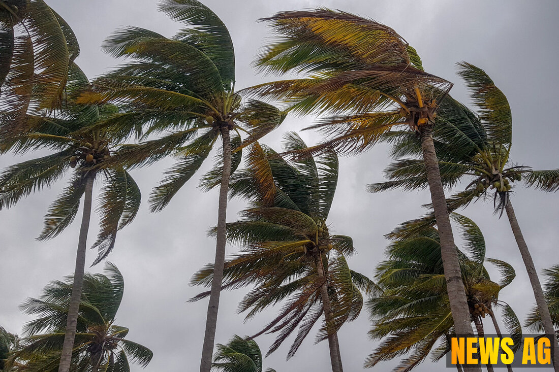
Hurricane Erin Weakens as Puerto Rico Faces Heavy Rain and Flood Warnings
Hurricane Erin, a Category 3 storm, is impacting Puerto Rico and the U.S. Virgin Islands with heavy rain and winds. Updates here.

Hurricane Erin Weakens as Puerto Rico Faces Heavy Rain and Flood Warnings
As of August 17, 2025, Hurricane Erin has weakened to a Category 3 storm, with maximum winds clocking in at 125 mph, according to ABC News. This robust storm is currently situated about 140 miles north of San Juan, Puerto Rico, and is moving west-northwest at 14 mph. Erin’s trajectory has sparked temporary weakening, but forecasters believe this lull won’t last long; an eyewall replacement cycle is expected to revive Erin’s intensity.
The outer bands of this hurricane are already causing quite a stir, bringing heavy rains and gusty winds to Puerto Rico and the U.S. Virgin Islands. Flash flood warnings remain in effect, with St. John and St. Thomas anticipating 3 to 6 inches of rain and northern Puerto Rico seeing up to 4 inches. Residents are advised to remain vigilant, as flood watches will persist into Monday morning, with isolated storm totals potentially reaching up to 8 inches.
What’s in Store
Weather watchers note that Erin is expected to slow down and begin turning north in the coming days, navigating between Bermuda and the U.S. East Coast, which might help minimize direct impacts on the mainland. However, dangerous surf and rip currents are already a concern along the entire eastern coastline, stretching all the way from Florida to New England. Large waves, measuring 8 to 12 feet, are predicted along the Carolina coastline by Thursday, which poses risks for significant beach erosion.
Adding to the drama, Erin was initially classified as a Category 5 hurricane just a day prior, packing winds of 160 mph. It rapidly intensified, gaining 55 mph in just a matter of hours, as USA Today reports. This rapid escalation highlights the unpredictable nature of these storms, with the potential for catastrophic impacts on land and sea.
A Closer Look at the Numbers
The Saffir-Simpson Hurricane Wind Scale categorizes hurricanes based on their wind speeds:
| Category | Wind Speed (mph) |
|---|---|
| Category 1 | 74-95 |
| Category 2 | 96-110 |
| Category 3 | 111-129 |
| Category 4 | 130-156 |
| Category 5 | 157 or higher |
A notable aspect of Erin’s unfolding saga is a proposal for a Category 6 classification, aimed at storms that exceed 192 mph. For now, NOAA has no intention of modifying the current scale, despite growing hurricane intensity concerns. It’s crucial for residents throughout the affected regions to remain prepared as they monitor Erin’s path and strength.
It seems Erin is well on its way to becoming a major player this hurricane season. With potential for rapid re-intensification on the horizon, as mentioned by NBC News, communities must stay informed and ready. As always, safety and preparedness should remain top of mind as the situation continues to develop.

 Suche
Suche
 Mein Konto