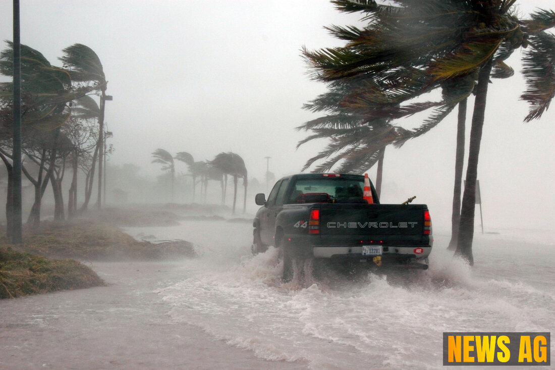
Tropical Storm Erin Gears Up: Impacts on Florida Still Uncertain!
Tropical Storm Erin intensifies, nearing Florida. Residents urged to prepare as hurricane season peaks. Latest updates inside.

Tropical Storm Erin Gears Up: Impacts on Florida Still Uncertain!
As Tropical Storm Erin prepares to intensify into a potentially powerful hurricane this weekend, residents of South Florida are urged to stay alert. The Boca Raton Tribune reports that the National Hurricane Center (NHC) has observed signs of Erin’s significant intensification, currently tracking with maximum sustained winds of 50 mph. Erin is traveling westward at 17 mph, influenced by a subtropical ridge in the northern gulf, and seems set for a directional shift that could place it near the Bahamas and the U.S. East Coast by early next week.
The storm’s immediate threat to South Florida remains low, but the long-range forecast presents a canvas of uncertainty. With Erin’s path more south than initially predicted, it may draw closer to Florida, prompting local officials to recommend that residents review and update their emergency preparedness plans. It’s not too early to gather supplies and ensure families are ready should the situation change.
Preparing for the Worst
Experts from the NHC remind us, as the NHC website highlights, that the peak of the Atlantic hurricane season is just around the corner. There’s something to be said for wise preparation, and having a well-stocked emergency kit along with a solid family emergency plan could make all the difference. With predictions suggesting rapid intensification may occur in the next 24 to 48 hours as Erin slides over warmer waters, vigilance becomes paramount.
While the Boca Raton area currently benefits from the storm’s distant trajectory, residents shouldn’t lose sight of the potential for changing conditions. The NHC’s forecasts indicate that Erin could attain major hurricane status by the weekend, with winds possibly reaching or exceeding 115 mph. Those living in coastal areas should particularly keep an eye on high surf and rip currents, while heavier rainfall is expected in the northern Leeward Islands, Virgin Islands, and Puerto Rico.
A Call for Awareness
In light of this developing situation, community leaders stress the need for continued awareness and community preparedness. As we enjoy the sunshine now, it’s wise to remember that storms can shift rapidly. Erin serves as a reminder that this time of year requires respect for the Atlantic’s unpredictable nature. Though the impacts on South Florida are currently uncertain, there is an ever-present chance that conditions may change, demanding our preparedness and proactive responses.
As the situation evolves, residents are encouraged to stay tuned to updates from local meteorological agencies and keep informed of developing forecasts. Erin may be a long-term threat, but as always, preparedness is the best remedy for uncertainty.

 Suche
Suche
 Mein Konto