
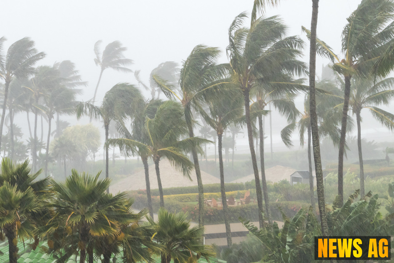


The warm summer days in Florida are currently overshadowed by a brewing tropical disturbance off the eastern coast. As of July 15, 2025, the National Hurricane Center (NHC) has its eyes on a cluster of thunderstorms, identified as „Invest 93L,“ which is steadily becoming more defined. Located just east of Florida’s Atlantic shore, this low pressure system is anticipated to travel westward, bringing with it the risk of heavy rain and potential storm development as it enters the warm waters of the Gulf of Mexico later this week. The possibility of this system evolving into Tropical Storm Dexter looms, although uncertainties remain regarding the timing of any such development.
The forecast suggests that “Invest 93L” will track across the Florida Peninsula on Tuesday before reaching the northeastern Gulf by Wednesday. This pivotal move could lead to better organization of the system, potentially evolving it into a tropical depression or storm. According to PNJ, AccuWeather expects significant rainfall across Central Florida, predicting totals between 4 and 8 inches by Tuesday evening. As always, Florida’s summer storms can do a good deal of damage, especially in low-lying and urban areas susceptible to flash flooding.
Rain and Flooding Risks
Locally heavy downpours are likely to disrupt daily life in various regions, with increased rain chances compared to the usual summer patterns. NHC stresses that heavy rain is bound to reach the Florida Panhandle as “Invest 93L” enters the Gulf waters. Residents should prepare for possible flash flooding, particularly in urban areas where drainage systems might be overwhelmed. NHC has raised the formation chances of this disturbance developing into a tropical system to 40% over the next 48 hours, creating a situation that will need careful monitoring by Floridians.

By mid-week, as the system approaches Louisiana’s southeastern coast on Thursday morning, local weather conditions could worsen. AccuWeather highlights that a tropical depression might make landfall in the region, steering northward and potentially affecting parts of the southern Mississippi River Valley later in the week. Flash floods, especially along the coastal areas, remain a significant concern, with experts advising everyone to heed local weather updates.
Safety Precautions
In light of the evolving situation, the NHC urges residents and visitors across Florida to stay informed about forecasts and guidance relating to tropical development. Proper preparedness can make all the difference when dealing with these natural events. Flash flooding can occur rapidly, and anyone living in prone areas should have a plan in place. With rough surf and strong rip currents expected at beaches until at least July 16, beachgoers should likewise exercise caution.
As for the local meteorological scene, Invest 93L is currently causing some disorganized shower and thunderstorm activity, thanks to upper-level winds playing a role in its organization. However, conditions may become increasingly favorable for development once the system migrates over open Gulf waters. Weather enthusiasts and cautious residents alike are encouraged to stay tuned to updates from the NHC and local meteorologists as the weather unfolds. This week will be a quintessential reminder that in Florida, when the heat rises, so can the storms.
For the latest updates, check out the NHC page on tropical weather developments here.