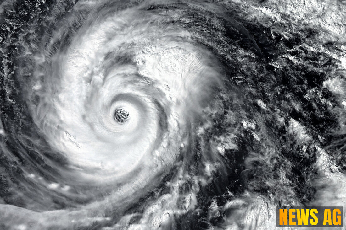
Hurricane Erin: What Florida Residents Need to Know This Week!
Hurricane Erin, a Category 3 storm, threatens Florida's coast with dangerous surf and rip currents as it shifts direction.

Hurricane Erin: What Florida Residents Need to Know This Week!
As Hurricane Erin churns through the Caribbean, residents of Florida are keeping a close eye on the storm’s developments. Initially reaching a perilous Category 5 strength, Erin has since weakened to a solid Category 3 as of August 17. With maximum sustained winds now hovering around 125 mph, the storm is currently located approximately 150 miles north of Puerto Rico and is moving west-northwest at 14 mph. While Florida doesn’t seem to be in the direct path of the storm, the impacts of Erin are likely to be felt along the East Coast.
Outer rainbands from Erin are already causing gusty winds and heavy rainfall across Puerto Rico and the Virgin Islands. Tropical storm warnings are active for the Turks and Caicos Islands, and watches have been issued for the southeastern Bahamas. The storm’s core is expected to pass east of these islands between late Sunday and Monday, with a gradual turn northward anticipated on Monday and Tuesday, steering it away from a direct landfall on Florida or the southeastern United States.
What to Expect in Florida
While a direct hit appears off the table, Floridians are urged to stay vigilant for hazardous conditions from August 18 to 21. High surf and dangerous rip currents are projected, with waves surpassing seven feet expected on August 19 and 20. These conditions could pose risks to beachgoers, and safety measures are firmly advised for anyone planning to enjoy Florida’s beautiful coastline during this time. Erin’s presence is also likely to impact not just Florida but other regions along the U.S. East Coast, extending to Bermuda and much of Canada as well.
Erin’s rapid intensification is a stark reminder of the increasingly frequent severe weather events attributed to warming ocean waters. In fact, only 43 Atlantic hurricanes have reached Category 5 strength in recorded history, underscoring the significance of such a powerful storm. As meteorologists closely monitor the situation, keeping up with updates from resources like the National Hurricane Center’s satellite imagery is invaluable. The National Hurricane Center offers a variety of animated visualizations to help track the storm’s development, including valuable infrared and water vapor imagery.
While it’s always wise to respect the power of nature, there’s something to be said for keeping a calm head during turbulent times. Florida’s residents, seasoned in the art of hurricane preparedness, know the drill. Staying informed, having a plan, and respecting the ocean’s might are key to navigating this unpredictable season. As we brace for the unfolding events brought by Hurricane Erin, let’s all keep safety front and center.
For further updates and tracking tools, check Hindustan Times and stay tuned for more developments.

 Suche
Suche
 Mein Konto