Tropical Storm Erin Grows Stronger: Florida Braces for Impact!
Tropical Storm Erin may strengthen into a hurricane, posing threats to Collier County as residents prepare for potential impact.

Tropical Storm Erin Grows Stronger: Florida Braces for Impact!
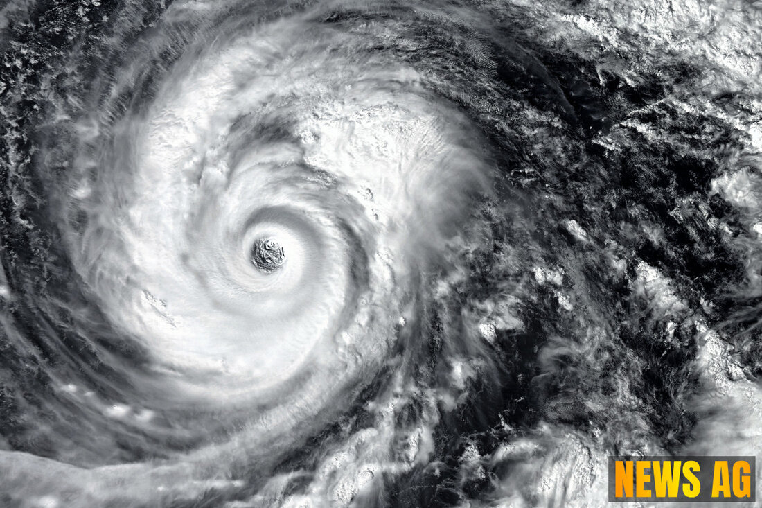
As Tropical Storm Erin strengthens, Florida residents are bracing for its potential impact. The storm, which rapidly intensified and could reach hurricane status by late August 14, is currently exhibiting maximum sustained winds of 45 mph and is traveling westward at 23 mph. Officials are on high alert, diligently assessing potential impact zones amidst concerns that Erin could escalate to Category 3 status, boasting wind speeds over 111 mph, according to Rolling Out.
Situated approximately 820 miles west of the Cabo Verde Islands and 1,765 miles east of the Northern Leeward Islands, Erin’s swift trajectory may shorten the time for preparations in affected areas. Emergency management officials are advising residents to begin readiness measures immediately. This includes reviewing hurricane preparedness plans, securing outdoor items, and ensuring that emergency supply kits are well stocked.
Predicted Heights and Potential Risks
Though no tropical storm or hurricane watches have been issued for Florida at present, the National Hurricane Center warns that coastal communities might still face increased wave heights and dangerous surf, even without a direct hit from the storm. Current modeling suggests Erin may divert northward, potentially sparing the U.S. mainland; however, options remain open for the storm’s path, which can change rapidly due to prevailing atmospheric conditions, making exact predictions difficult.
As highlighted in the New York Times, forecasts of flash flooding extend well inland and away from the storm’s eye, raising concerns that even weaker storms like Erin can produce excessive rainfall capable of flooding low-lying areas. After all, excessive rainfall can wreak havoc across inland regions, often resulting in extensive damage.
A Challenging Hurricane Season
This hurricane season has gotten off to a slow start compared to the historical pattern. While the Atlantic hurricane season typically runs from June 1 to November 30, researchers warn of an above-average season this year, with NOAA predicting 13 to 19 named storms, and potentially up to nine could become hurricanes.
Climate change plays a significant role in the intensity of these storms. Warming oceans are known to contribute to heavier rainfall and increased storm surges upon making landfall. According to Climate Central, recent research suggests that 80% of major hurricanes experience rapid intensification. Rapidly intensifying storms are particularly destructive, having caused more than $1.4 trillion in damages in the U.S. since 1980, emphasizing the critical relationship between climate change and hurricane severity.
This interaction underscores a troubling trend; as storms grow stronger and more unpredictable, the consequences for coastal communities intensify dramatically. Scientists are concerned that climate change not only influences storm intensity but also rainfall amounts, allowing for more moisture to permeate the atmosphere.
The Path Ahead
Residents along Florida’s coast should remain vigilant as Erin approaches. Emergency management officials stress the importance of being prepared, urging the public to monitor updates closely through the tracking data provided by the National Hurricane Center, which will be releasing new products for the enhanced management of tomorrow’s storms. The ever-evolving nature of hurricanes, combined with climate realities, means that it’s better to stay proactive than reactive in the face of nature’s fury.
In summary, Tropical Storm Erin is a powerful reminder that despite a slower start to the season, hurricane threats remain alive and well. The impacts of climate change continue to shape weather patterns, pushing us to remain alert, informed, and ready to act when nature calls.

 Suche
Suche
 Mein Konto