
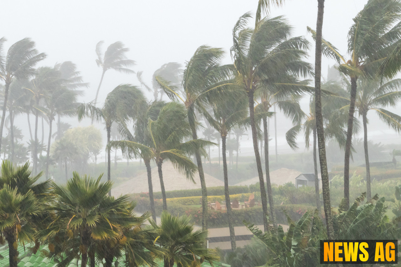


As Floridians gather to celebrate July 4th, there’s a significant atmospheric buzz stirring in the eastern Gulf and Atlantic waters. The National Hurricane Center (NHC) and AccuWeather have ramped up the chatter, increasing the likelihood of a tropical depression or storm within the week, particularly impacting northeastern Florida, Georgia, and the Carolinas. According to PNJ, NHC forecasters are suggesting a medium chance of development, although a convenient broad area of low pressure has yet to materialize, requiring some time to organize its forces.
While vacationers along the southeastern coast shouldn’t panic just yet, it’s wise to keep an eye on the skies. The forecast indicates a likely increase in showers and thunderstorms, with potentially deteriorating weather conditions looming just around or after July 4th. Those planning to celebrate might find themselves dodging unexpected rain, although any major storm systems forming overnight seem unlikely. If development does occur, the waters bathed in warmth (at least 80°F) could support a stronger weather entity.
Signs and Monitoring
Forecasters are closely monitoring three distinct signs of potential tropical development: a drop in atmospheric pressure, the organization of storms into clusters from the eastern Gulf to southern Atlantic, and the formation of concentrated areas of low pressure responding to thunderstorm clusters. Should thunderstorm activity intensify enough, we could see a tropical depression pop up, bringing winds in the range of 35-38 mph. The next named storm on the horizon for this hurricane season is Chantal, which sits atop a lengthy list of potential storm names expected this year.

This season’s count is poised to be quite busy. A recent outlook from Colorado State University predicts 17 named storms, 9 hurricanes, and 4 major hurricanes, defined as having winds of at least 111 mph. Despite the dramatic predictions from Fox Weather, it’s important to note that this season so far has seen minimal impact from existing storms, with short-lived systems contributing little energy. The Accumulated Cyclone Energy (ACE) has remained alarmingly low, currently below 0.5 units when averages usually sit above 2.0 after the first month of the season.
Current Trends and Implications
Factors at play include warmer sea surface temperatures that typically promote storm formation, juxtaposed with higher than normal atmospheric pressures that have been inhibiting cyclone activity. Although July historically only produces about one named storm, the conditions suggest that while activity might appear modest now, it undoubtedly picks up pace as summer progresses.
Looking ahead, the Madden-Julian Oscillation (MJO) is expected to stay in an inactive phase for much of July, potentially curbing storm formation opportunities. The real action typically arrives around August 20, as we inch closer to the heart of the hurricane season. The ongoing patterns foster a complex interplay between various environmental factors—notably the warm waters of the Gulf and Caribbean, which remain key breeding grounds for storms.
Despite the calmness of the current hurricane season, preparedness remains essential. Federal agencies like FEMA and the American Red Cross stress the importance of staying ready, regardless of the seasonal forecasts, which, as noted by the National Oceanic and Atmospheric Administration, can change rather dramatically as we move deeper into the summer months.
In short, while Floridians enjoy their barbecues and fireworks, keeping an eye on weather reports could very well be part of the festivities this July 4th. Remember, a little preparedness goes a long way, especially when it comes to the unpredictable nature of hurricane season.