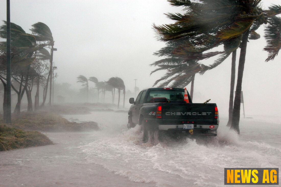
Stormy Weather Ahead: Rain and Flood Risks Increase for Florida This Week
Charlotte County faces a stormy forecast on July 16, 2025, with a 70% chance of rain as tropical development is monitored.

Stormy Weather Ahead: Rain and Flood Risks Increase for Florida This Week
The summer season is in full swing across Florida, but with it comes the ever-looming threat of severe weather. As we experience a significant uptick in temperatures, the forecast screams impending storms. Just yesterday, the National Hurricane Center was busy keeping tabs on a broad and disorganized low pressure system that is making its way through northern Florida, a harbinger of what could be a tumultuous weather pattern ahead. According to Fox4Now, southern Collier County and parts of Charlotte and Lee counties should brace themselves for morning showers and storms.
The mercury is set to climb to around 91°F today, with a 70% chance of rain. Expect heavy downpours near the coast later this afternoon, particularly between 3 PM and 5 PM. Off the coast, the weather remains unsettled, with Trent Aric, a local meteorologist, indicating a humid evening ahead, where hopes for dryness might just be a shade optimistic. Overnight temperatures will linger in the mid to upper 70s, a warm embrace for those trying to escape the heat.
What’s Brewing in the Atlantic?
This year, the Atlantic hurricane season hasn’t been shy with three named storms already—Andrea, Barry, and Chantal. The next one queued up is named Dexter. A system dubbed Invest 93L has caught the attention of weather watchers as it churns off Florida’s east coast, showing a 40% chance of tropical development over the next week. The potential impact is significant, especially with forecast models indicating that some areas could rake in over 7 inches of rain as this system shifts westward across Florida into the Gulf of Mexico. Historical weather patterns, as pointed out by Courier-Journal, have shown that even this early in the season, environmental conditions could favor additional development if the system manages to remain offshore.
As we know, hurricane impacts can resonate far beyond their landfall, occasionally affecting regions hundreds of miles away. Areas like Tampa and Jacksonville might not bear the full brunt of a storm, but they’re certainly not off the hook when it comes to experiencing adverse weather effects.
Understanding Hurricanes in Florida
The Atlantic hurricane season runs from June 1 to November 30, with a peak in activity generally hitting around mid-August through late October. Hurricanes aren’t just a passing concern; understanding their classifications is crucial. The Saffir-Simpson Hurricane Scale helps us gauge the potential damage based on wind speed, which can wreak havoc far and wide. Inspired by insights from Florida State University’s Climate Center, we’re reminded that even a slow-moving system can lead to significant inland flooding, often more dangerous than the winds themselves.
Residents are encouraged to remain aware of their evacuation plans and property elevations should nature’s fury unleash itself. With heavy rainfall on the horizon, a flood watch is already in effect for Southeast Florida. Now might be the time to take stock, especially with the historical average for the fourth named storm arriving around August 15. As we gear up for the potential outlook of Dexter and beyond, all eyes should be on the skies and our local emergency resources.
It’s not just about weather updates; it’s about staying informed and prepared. With the specter of more storms coming, let’s stay vigilant and proactive during this tumultuous season.

 Suche
Suche
 Mein Konto