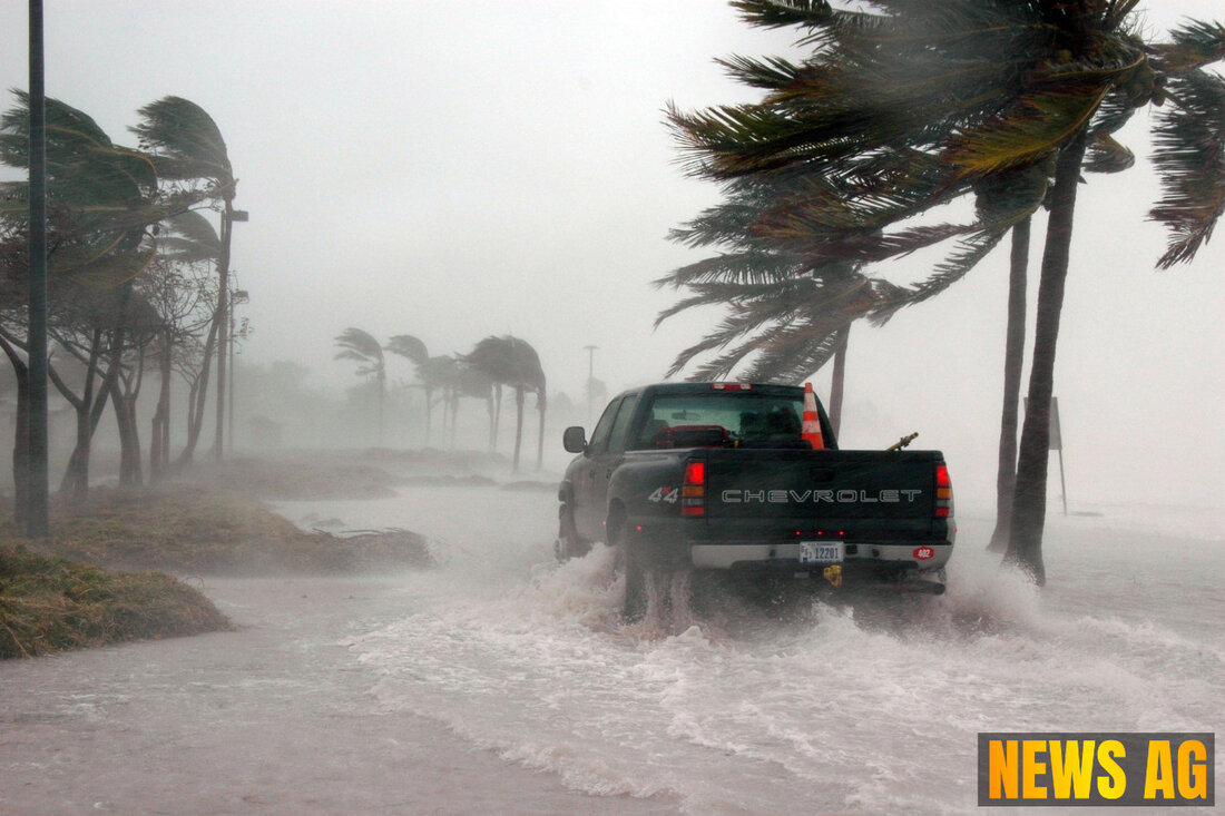
Tropical Waves Spark Thunderstorms Across Caribbean and Gulf Waters

South Bay, USA - As we find ourselves on June 8, 2025, weather enthusiasts and residents of the Sunshine State may want to sit up and take notice of the latest happenings in and around the Atlantic. According to Boca News Now, a comprehensive Tropical Weather Discussion reveals critical insights into the current climatic conditions across North America, Central America, the Gulf of America, the Caribbean, and northern South America. Today’s weather talks are alive with the movement of tropical waves and other critical weather patterns that forecast both rain and calmer seas.
One of the key players today is a tropical wave located in the central Atlantic, noted to extend along 50W from 02N to 11N, progressing westward at a brisk pace of 10-15 knots. This wave is stirring up scattered showers and thunderstorms, especially affecting regions inland in French Guiana and parts of northeast Brazil. This kind of weather is typical for this time of year, but vigilance is advisable.
Understanding the Troughs and High Pressure Systems
The tropical narrative today is also shaped by the monsoon trough and the Intertropical Convergence Zone (ITCZ). This is a band of low pressure that intersects the Atlantic along the coast of Guinea-Bissau at approximately 12N16W, stretching southwest for quite some distance. Convection in the region is notable, with scattered activity observed within 120 nautical miles south of the ITCZ between coordinates 21W and 26W, and north of the ITCZ from 33W to 45W.
Shifting our gaze to the Gulf of America, we see the effects of a high-pressure system that extends from the Atlantic right across Florida and into the central Gulf waters. As things currently stand, light to gentle southeast to south winds are being reported, alongside seas ranging from 2 to 4 feet. The forecast indicates that this high-pressure area will strengthen and shift further westward into the central Gulf, creating the potential for moderate to fresh winds, especially north of the Yucatan Peninsula.
Caribbean and Atlantic Insights
The Caribbean Sea is buzzing with fresh to strong trades as the pressure gradient between the high pressure in the central Atlantic and lower pressures in South America affects weather conditions. Here, the seas are reported at heights of 5-7 feet, while scattered moderate to isolated strong convection has been noted near the coast of Nicaragua. The weak high pressure over the western Atlantic is slowly migrating northeast, leading to heightened trading winds and the potential for rough seas throughout the central basin.
Over in the broader Atlantic Ocean, conditions remain relatively calm. A tropical wave persists in the basin, under the influence of a notable 1031 mb high pressure system stationed near the Azores. While winds are gentle to moderate, isolated showers have been reported north of 29N between 61W and 76W. A frontal trough near 79W is likely to enhance weather conditions primarily north of 29N, with fresh to strong winds expected offshore of Hispaniola early next week.
Current Storms and Weather Outlook
Despite the bustling activity, the current report from Mappr indicates that as of June 7, 2025, there are no significant storms in North America or its adjacent waters. The central Atlantic tropical wave has its axis considerably further west, moving with the same pace of 10-15 knots, and is also linked to scattered moderate convective activity within a 120 nautical mile radius.
For our Caribbean neighbors, the forecast involves moderate to fresh trades along with variable sea conditions, enhancing the chances of rain across parts of Central America, particularly in eastern Nicaragua and possibly northeast Honduras. It’s a good time to keep a close eye on weather developments, as mid-next week may bring unpredictable rainfall to these regions.
In summary, while we enjoy this slice of Floridian sunshine, it pays to stay informed about the shifting weather patterns around us. Whether you’re planning a beach outing or managing storm preparedness, being aware of these dynamics can go a long way. So keep your umbrellas handy and your weather apps updated; after all, Mother Nature can be quite the lively character!
| Details | |
|---|---|
| Ort | South Bay, USA |
| Quellen | |
