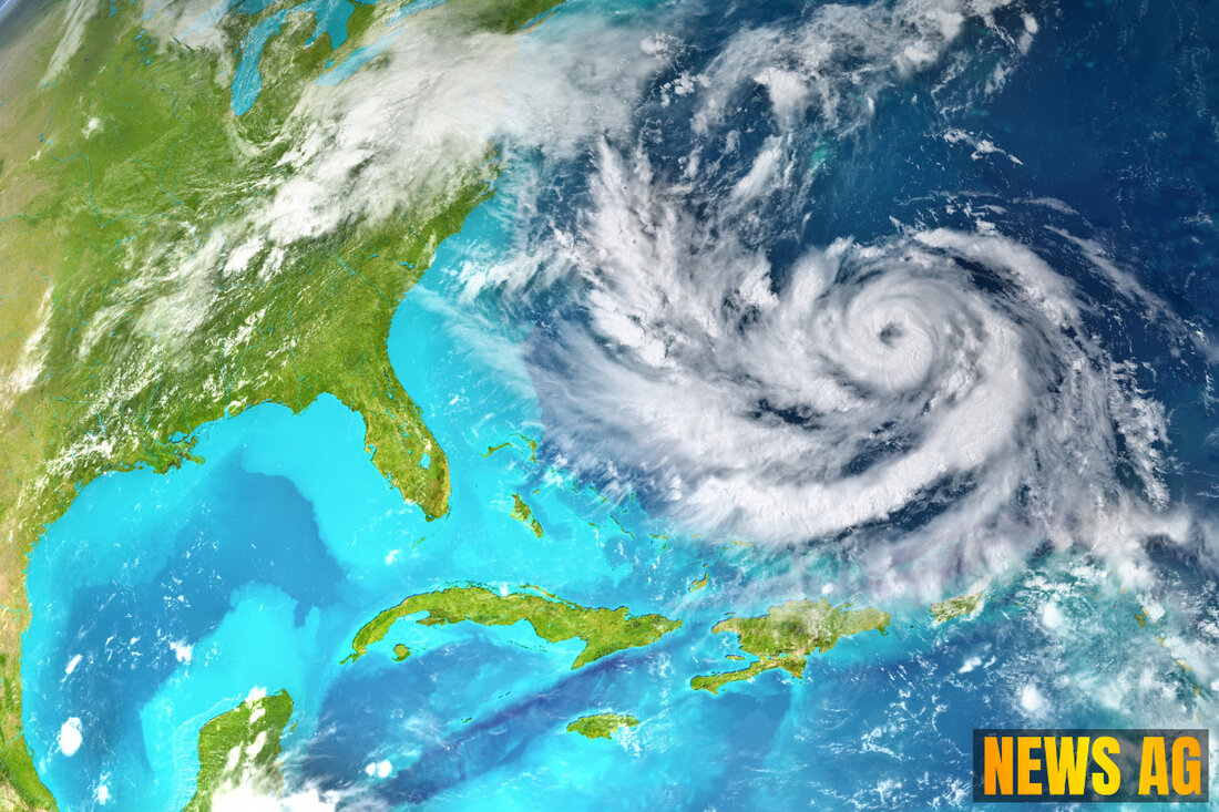
Tropical Depression Two Sparks Warnings as Fourth of July Approaches!

West Palm Beach, Florida, USA - The tropical weather scene is shaping up to be quite eventful as we head into the holiday weekend. A frontal boundary is lingering through North Florida and the Panhandle, sparking some speculation about what lies ahead. While we may breathe a sigh of relief today, a low-pressure system could develop along this remnant front by next weekend, potentially increasing rain chances as we approach the Fourth of July holiday. Reports from WPTV indicate that the presence of Saharan dust, albeit in lesser quantities than over the weekend, might temper the tropical characteristics of this low-pressure system, even while it brings rain.
Meanwhile, Tropical Depression Two continues its trek toward the Gulf Coast, bringing hefty rainfall and near-tropical storm force wind gusts. As noted by Naples News, Tropical Depression Two is set to make landfall along the Mexico coast this Sunday night, with forecasts suggesting maximum sustained winds of 35 mph and expected rainfall totals of three to six inches. Some areas could see isolated totals as high as 10 inches, prompting officials to issue tropical storm warnings along the eastern Mexico coast.
What’s Happening Nearby?
As you keep an eye on the ocean, it’s good to know what’s swirling in the broader atmosphere. The National Hurricane Center has its radar fixated on a disturbance over Florida that stretches across the Gulf coast and into the Atlantic Ocean. For now, it seems there’s no short-term tropical development expected, although the odds of that changing stand at a mere 20% over the next week. Tropical storms can be fickle creatures, and as the NHC’s resources show, they can change their mind quite rapidly.
Speaking of names, the 2025 Atlantic hurricane season is already shaping up to be noteworthy, with only one named storm having occurred so far. That lone storm was likely a prelude to Barry, the next name on the list just waiting to be called. Don’t forget, the Atlantic hurricane season runs from June 1 to November 30, with the peak activity typically seen between mid-August and mid-October.
Looking Ahead
As if that’s not enough, four tropical waves are also on the National Hurricane Center’s radar, moving in varying speeds across the Atlantic. From the off-coast of Africa to the eastern Caribbean, these waves remind us just how dynamic the summer weather can be. Will any of them brew into something more? Only time will tell!
As we set our sights on the Fourth of July weekend, it’s worth noting that a significant plume of Saharan dust could also reach parts of the southern U.S., including Florida. This could impact both air quality and rainfall. As we prepare to gather with family and friends to celebrate, remember to keep updated with local weather alerts. You can receive text updates on current storms and weather events to stay safe and informed.
So, whether you’re heading to the beach or planning a backyard barbecue, don’t let unpredictable weather dampen your spirits. Stay aware, and enjoy your holiday weekend!
| Details | |
|---|---|
| Ort | West Palm Beach, Florida, USA |
| Quellen | |
