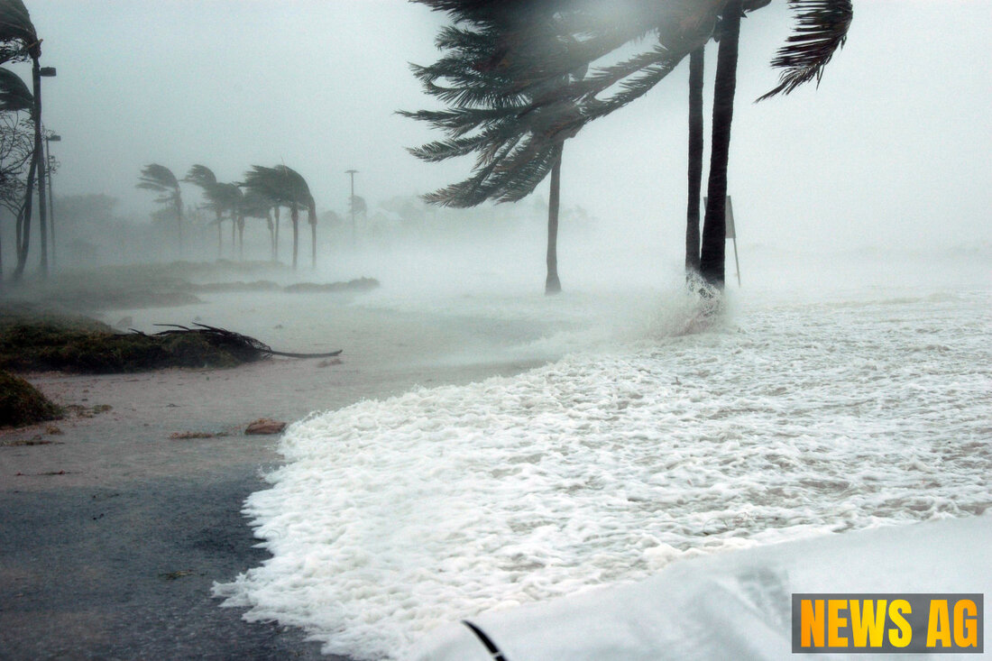
Hurricane Erick Threatens Mexico as Saharan Dust Affects Florida Weather

Mexico Beach, Mexico - As we find ourselves deep in the whirl of hurricane season, it’s time to take stock of what’s brewing both in the Atlantic and what’s drifting in from the Sahara. Currently, Florida’s weather is inching into summer heat but, despite typical seasonal expectations, the Atlantic has remained surprisingly quiet.
According to News-Journal Online, the next plume of Saharan dust is set to bypass Florida shortly, although another wave could make its presence felt around June 27. The season, which runs from June 1 to November 30, has yet to see any named storms, a situation being attributed to strong wind shear and the pervasive influence of Saharan dust.
A Quiet Atlantic Season
The National Hurricane Center is keeping a keen eye on three tropical waves currently meandering through the Atlantic:
- Tropical wave 1: Located along 23W, south of 14N, moving west at 6-11 mph.
- Tropical wave 2: Located along 43W, south of 13N, also moving west at 6-11 mph.
- Tropical wave 3: Located along 58W, south of 15N, moving west at 11 mph.
The first named storm of the season is expected to be Andrea. While we await her arrival, Hurricane Erick is generating serious waves of concern in the eastern Pacific, with forecasts predicting storm conditions accompanied by life-threatening flash floods for southern Mexico starting June 18. With maximum sustained winds nearing 65 mph, Erick could potentially escalate to major hurricane strength by June 19, dumping 8 to 20 inches of rain in Oaxaca and Guerrero.
Despite the quiet season in our immediate vicinity, the drop in tropical activity is linked to a mixture of dry air, which inhibits the growth of storms, and wind shear, which can disrupt storm formation. The average first named storm emerges around June 20, so we’re still within the ballpark for activity to ramp up.
Saharan Dust: A Double-Edged Sword
The phenomenon of Saharan dust serves as both a worry and a blessing in disguise. The dust typically travels across the Atlantic in a substantial two-mile-thick layer known as the Saharan Air Layer (SAL), and it plays a noticeable role in weather patterns over Florida and beyond. EarthSky reports that the SAL can inhibit the development of tropical cyclones by limiting moisture—a critical ingredient for storm formation.
Saharan dust clouds are forecasted to impact the Gulf Coast and parts of Texas next week, following the first significant plume’s arrival over the U.S. around June 14-15. These dusty visitors can lead to hazy skies and stunning sunsets but also limit rainfall and contribute to respiratory issues for those vulnerable. Moreover, ongoing research by NOAA aims to enhance forecasts related to the SAL’s influence on tropical cyclones, as understanding these dynamics becomes increasingly essential.
Enhancing Hurricane Forecasts
Researchers are keenly aware of the need for more accurate hurricane intensity forecasts—a vital aspect that has historically lagged behind more straightforward track forecasts. The NASA Earthdata highlights how initiatives like the NAMMA campaign are making strides in this area, utilizing advanced technology to analyze data from airborne instruments.
Ultimately, improving predictions on how storms may behave is crucial for coastal residents and emergency managers, shaping decisions regarding evacuations and readiness. The battle between Saharan dust and hurricane development is a fascinating one, all the more important as we wade deeper into the hurricane season.
As this summer unfolds, Floridians are advised to stay vigilant and informed. With rising temperatures and the potential for tropical activity in the air—quite literally—it’s best to keep a weather eye out.
| Details | |
|---|---|
| Ort | Mexico Beach, Mexico |
| Quellen | |
