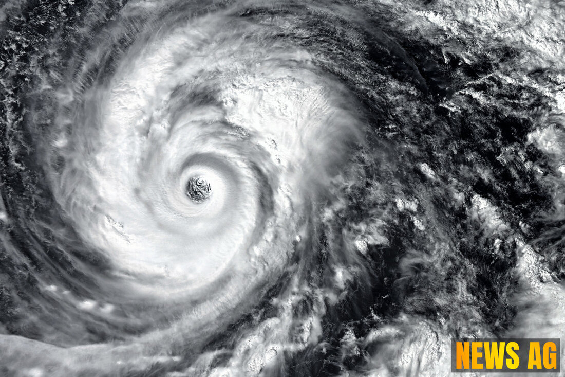
Hurricane Season Heats Up: Tracking New Developments in the Tropics

Jacksonville Beach, Florida, USA - The Atlantic hurricane season is heating up as June rolls on. As of June 24, 2025, the National Hurricane Center is closely monitoring a low-pressure system situated about 900 miles east-northeast of Bermuda. This system currently bears a 70% chance of developing over the next 48 hours and into the following week, and it’s an indicator that tropical waves are beginning to emerge from Africa, suggesting a gradual ramp-up toward the peak hurricane activity expected in August and September. Fortunately, there are no immediate threats to Jacksonville or the broader Florida area at this time, giving residents a bit of breathing room to review and prepare their hurricane kits, as advised by local meteorologists News4Jax reports.
As we look at the bigger picture, the current La Niña pattern is playing a significant role. It brings about less wind shear across the Atlantic, which creates more conducive conditions for developing storms. This could mean a busier hurricane season ahead, aligning with the predictions made by meteorological experts National Hurricane Center. Despite the slow start to this year’s hurricane activity—no named systems had formed prior to the official start which is an unusual occurrence—forecasters still expect between 13 to 19 named storms this season, slightly above average.
Understanding the Slow Start
Is this slow initiation a cause for concern? Not at all! The National Hurricane Center has made it clear that a slow start does not necessarily translate into a quiet season. For instance, in 1992, Hurricane Andrew didn’t appear until late August—well after the season’s official start. With historical data backing up the unpredictable nature of tropical activity, there’s something to be said for remaining vigilant. The MJO, or Madden-Julian Oscillation, also factors into this unpredictability; as of late June 9, its impact on rainfall activity in the Atlantic was subdued, but conditions improved significantly by June 14, allowing for enhanced possibility for storm development as the summer progresses WUSF informs us.
For Florida residents, June has historically been known for storms forming in nearby waters. As we keep our eyes peeled for changes in this developing situation, it seems prudent to remain updated. Should any system develop in the northern Atlantic, predictions indicate it could become a “fish storm,” meaning it would largely affect ocean waters while sparing the U.S. and Caribbean from direct impact. This is a welcome scenario, indeed!
Your Preparedness Matters
As the weather patterns shift, being proactive is key. The National Hurricane Center has an extensive archive of resources and advisories for residents to tap into. Their collection includes detailed Tropical Cyclone Reports, historical cyclone activity, and even a robust archive of graphical data to accompany storm forecasts. With changing weather patterns, keeping informed is just as important as having an emergency plan in place.
Cutting through the clouds of uncertainty, Florida remains vigilant. As we dive deeper into this hurricane season, having a good hand at preparedness and staying informed will go a long way in ensuring safety for our communities.
| Details | |
|---|---|
| Ort | Jacksonville Beach, Florida, USA |
| Quellen | |
