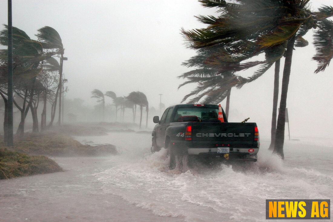
Storm Alert: Invest 93L Threatens Louisiana with Heavy Rainfall Today

Jacksonville Beach, Florida, USA - The tropical weather phenomenon known as Invest 93L is making headlines in Florida as it develops into a rainstorm expected to impact the northern Gulf Coast. As of July 17, 2025, Jacksonville.com reports that while Jacksonville faces a low risk of direct impact from the storm, residents should remain vigilant due to moderate rip current risks and soaring heat index values that make it feel hotter than the actual temperature of around 93 degrees.
This weather system is projected to move onshore in Louisiana later today, where heavy rainfall and localized flash flooding are anticipated. With forecasts suggesting 4-8 inches of rain over southern Louisiana and pockets reaching up to 12 inches, NBC Miami highlights the significant rainfall event experienced recently in Plant City, Florida, where a staggering ten inches fell within just three hours, categorized as a rare 1-in-1,000-year occurrence.
The Ripples of Weather Change
While Invest 93L is moving westward toward Louisiana, its influence is felt across the Gulf Coast. The National Hurricane Center has noted that the system is „running out of real estate“ for potential strengthening, with a low chance remaining for development into a tropical depression. Tornadoes and waterspouts could emerge as the storm travels inland, bringing with it a heightened risk of flash flooding in affected areas of Louisiana, including Lake Charles, Lafayette, and Baton Rouge, where a moderate risk rate of three on a scale of four has been declared.
In addition to the immediate weather threats, the broader context of climate change interplays with these storm patterns. The EPA emphasizes that with rising sea temperatures, global cyclone intensity is on the rise, influencing everything from property damage to soil erosion and flooding. The past 40 years have seen a notable increase in tropical cyclone intensity, which can be attributed to our warming atmosphere, adapting to an environment that nourishes more extreme weather events.
Marking the Season
The 2025 Atlantic hurricane season, which spans from June 1 to November 30, is expected to feature an average of 14 named storms. The next name on the roster is Dexter, waiting in the wings should Invest 93L gain sufficient strength. Already, the National Hurricane Center is monitoring three other tropical waves in the Atlantic, as storm tracking becomes increasingly critical in this period of heightened weather activity.
As residents keep an eye on the skies amid this incoming storm, staying prepared is key. Jacksonville’s forecast suggests a 40% chance of rain and possible lingering showers later in the evening, alongside continued advisories for hydration and safety, especially with the combination of humidity and heat. This intertwining of immediate challenges and broader climate discussions reminds us all—there’s certainly more to this hurricane season than meets the eye.
| Details | |
|---|---|
| Ort | Jacksonville Beach, Florida, USA |
| Quellen | |
