Tropical Storm Chantal: Florida Braces for Heavy Rains and Winds!

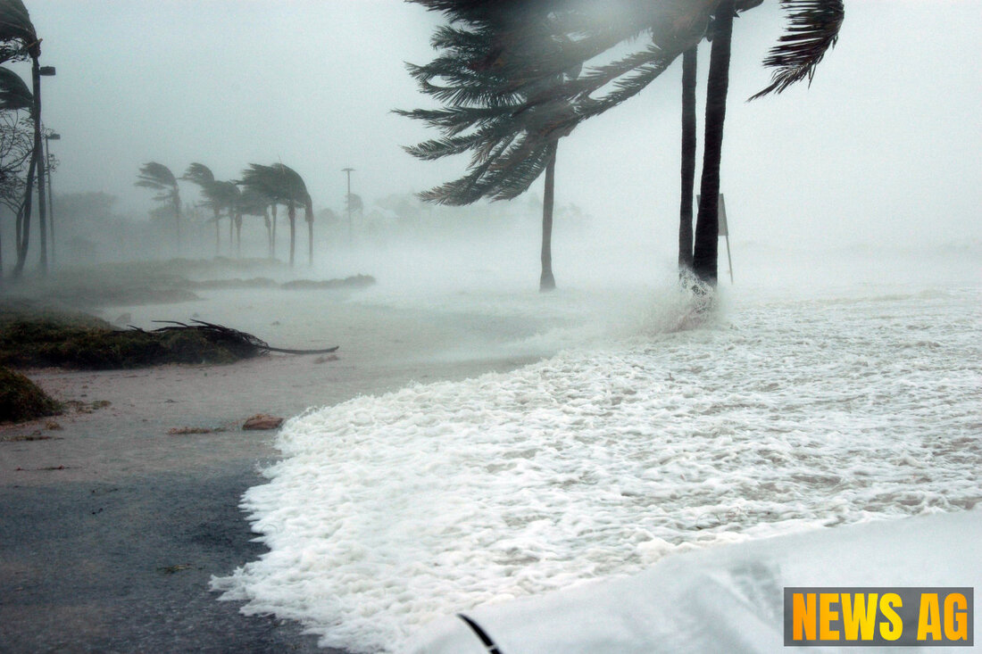
Naples, Florida, USA - As we embrace the heat of summer in Florida, the weather is about to take center stage. According to Naples News, the National Hurricane Center is keeping a keen eye on a disturbance that might stir things up along the Gulf and Atlantic coasts this holiday weekend. Expect heavy rain, gusty winds, and a risk of increased rip currents, particularly for beachgoers enjoying the sun. It’s a classic summer scenario here in Florida—just when you think the sun’s shining bright, Mother Nature decides to remind us who’s in charge.
Currently, there’s a low chance for tropical or subtropical development in the Atlantic. However, up to 20 percent development could happen in the next week if conditions shift. This means we’re not quite out of the woods yet, especially with the frontal boundary potentially stalling and weakening off the southeastern U.S. coast. The Florida Department of Emergency Management assures residents that there’s no direct threat in the coming days, but it’s wise to remain vigilant about potential heavy rainfall and gusty winds.
Monitoring the Tropics
Simultaneously, the National Hurricane Center is monitoring four tropical waves. These include:
- Wave 1: Eastern Atlantic along 24W, moving west at 11 mph.
- Wave 2: Eastern Atlantic along 38W, moving west at 17 mph.
- Wave 3: Approaching Lesser Antilles along 59W, moving west at 11 mph.
- Wave 4: Central Caribbean along 74W, moving west at 23 mph.
This year’s Atlantic hurricane season, which runs from June 1 to November 30, has already manifested its first named storm, Tropical Storm Andrea, forming on June 24. Despite its quick demise due to unfavorable conditions, NOAA predicts above-normal activity this season thanks to warmer ocean temperatures and lower wind shear. The insight from USA Today suggests that while storms developing early in the season offer some clues about what’s ahead, they don’t tell the whole story. Typically, June storms arise near the U.S. southeast coast, the Gulf Coast, or the Caribbean, but how many will take shape remains to be seen.
What Lies Ahead
With wind shear expected to remain low and ocean temperatures in the Gulf running above average, there’s some potential for development should conditions align favorably. As we venture into July, it’s a good idea to keep an ear to the ground and stay updated with the forecasts. The National Hurricane Center indicates a 0 percent chance of formation through the next 48 hours, but things could change, and a gradual tropical or subtropical development could emerge as the week unfolds.
As residents and visitors gear up for the Fourth of July celebrations, safety remains paramount. Beachgoers, especially in northern Florida and the Carolinas, need to pay close attention to the surf conditions, as rough waters and rip currents can pose serious risks. It’s always better to be prepared and informed.
So, Floridians, while the summer sun beckons, don’t let your guard down as we wade deeper into the hurricane season. Stay safe, stay informed, and let’s keep watching the skies together!
| Details | |
|---|---|
| Ort | Naples, Florida, USA |
| Quellen | |
