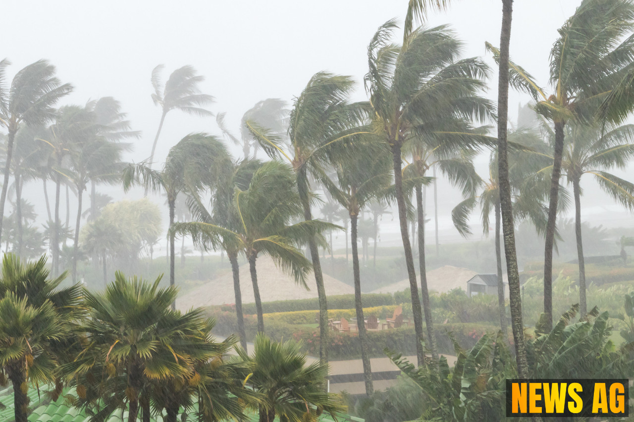
As we settle into the summer months, temperatures are climbing and so is the activity in the Atlantic. Floridians are gearing up for a hot and humid weekend, with highs in the upper 80s to lower 90s in West Palm Beach, according to WPTV. However, this glorious weather comes with the potential for scattered storms, particularly on Saturday when residents can expect rainfall starting around 2 PM and continuing until 8 PM. Luckily, the rains are not expected to be a complete washout, with most storms predicted to occur inland and near the Treasure Coast.
Looking ahead, the forecast remains quite similar for Sunday. High temperatures persist in the upper 80s, accompanied by a few chance storms, still primarily affecting the inland areas. As the new week unfolds, a slight drying trend is anticipated through Monday to Wednesday, although afternoon storms will continue to be a possibility with temperatures stubbornly sticking to the lower 90s, coupled with that signature Florida humidity.
Stormy Developments
This weather story gets a bit more intricate with the emergence of Tropical Depression Three, which is currently making waves in the Atlantic Basin. Originating from a region that has been watched closely since mid-June, it transformed into Tropical Storm Chantal over the weekend, as noted by AccuWeather. This so-called “homegrown development” is typical of July along the southeast Atlantic coast and is expected to bring sporadic showers and thunderstorms, particularly off Florida’s east coast.
As Chantal makes its way north through the Carolinas, it is set to influence the weather dynamics along our shores. The storm’s increasing barometric pressure and the resultant wind fields can lead to building surf and rough seas, making beach outings potentially treacherous, especially along the Carolina coastline where gusts could top 40 mph.
Understanding the Cyclone
For those wondering how exactly these storms develop, it’s worth noting some characteristics of tropical cyclones. A tropical cyclone is essentially a rotating system of clouds and thunderstorms that forms over warm waters—something we’ve got plenty of here. According to information from National Hurricane Center, tropical storms are classified by their wind speeds ranging from 39 to 73 mph, and as of recent classifications, Chantal falls neatly within this storm category.
While we revel in summer, it’s good to remain prepared and mindful of the seasonal shifts. The Atlantic hurricane season, running from June 1 to November 30, tends to ramp up in late summer, typically reaching its peak activity around September 10. It’s a time when blossoming storms become more prevalent, and having a plan in place for emergencies can never hurt.
As we bask in Florida’s seasonal heat, it’s crucial to keep an eye on not just the temperatures but also on the developments in the Atlantic. Will this tropical storm evolve into something more daunting? Only time will tell—but enjoy the warm weather while staying alert! After all, there’s something to be said for taking the sunny days as they come, while keeping a careful watch on the horizon.


