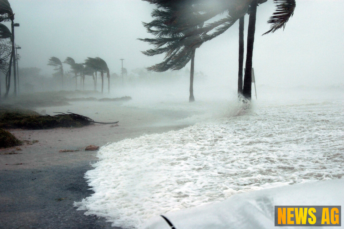
Tropical Disturbance Could Unleash Stormy Weather on Palm Beach This Week

Palm Coast, Florida, USA - As summer progresses here in sunny Florida, the weather remains an ever-changing tapestry that keeps us on our toes. This week, residents of Palm Beach County will want to be especially vigilant. A trough of low pressure near the southeastern United States is expected to cross Florida early this week, causing unsettled weather conditions. The Boca Raton Tribune reports that heavy rain, thunderstorms, and gusty winds are all on the horizon, even if this system does not develop into a full-fledged storm.
Local meteorologists are watching the situation closely. The system is anticipated to move westward across Florida on Tuesday and into the northeastern Gulf of Mexico. While there is currently no imminent threat of a tropical storm to South Florida, the eastern side of the system may still lead to heavy rain and rough surf along our Atlantic coast from Tuesday into Wednesday. Coastal residents, particularly in Boca Raton, should remain cautious with an increased risk of rip currents and minor coastal flooding.
Weather Predictions and Monitoring
What exactly should you expect? According to the National Weather Service in Miami, while this disturbance is unlikely to escalate into a hurricane, it may still bring in moisture and instability. As of Monday evening, the National Hurricane Center has yet to assign an official development probability to the system. However, they have noted that conditions in the Gulf could allow for gradual tropical development midweek. If a tropical depression were to form, it would mark the next named system in the 2025 Atlantic hurricane season.
In terms of the broader tropical landscape, the Atlantic remains active, although nothing is currently expected to impact Florida directly according to the Palm Beach Post. The National Hurricane Center is tracking three tropical waves: one in the eastern Atlantic, another near the Lesser Antilles, and a third in the western Caribbean, all moving westward. The latest advisory indicates a low risk of tropical development particularly in the northeastern Gulf and off the Southeast coast over the next few days.
Looking Ahead
For those curious about the bigger picture, it’s worth noting that the 2025 Atlantic hurricane season is already shaping up to be above normal. Historical trends show that July typically brings about more tropical systems close to the U.S., especially in the Gulf and Caribbean. With temperatures in Florida recently soaring into the mid-90s, the atmosphere is primed for potential tropical activity. Local emergency managers are advising residents, especially those in low-lying areas, to keep a close eye on weather updates as the week unfolds.
Meanwhile, NOAA’s Climate Prediction Center has forecasted that warmer sea surface temperatures and reduced vertical wind shear could further enhance hurricane development this season. The average Atlantic hurricane season typically sees around 14 named storms and 7 hurricanes, with peak activity occurring around September 10. With conditions appearing ripe for activity, the anticipation surrounding the next named storm—set to be called Dexter—continues to build.
As we enjoy our summer in paradise, let’s stay informed and prepared. Whether it’s grabbing extra supplies or just keeping an ear out for alerts, being proactive can certainly help in navigating these often unpredictable waters ahead.
| Details | |
|---|---|
| Ort | Palm Coast, Florida, USA |
| Quellen | |
