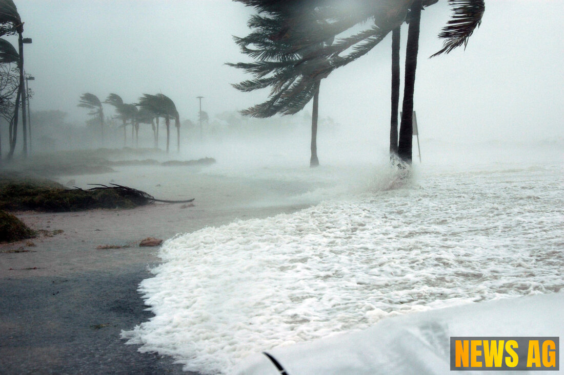
Tropical Storm Barry Fades: Florida Faces Wet July 4th Weekend Ahead!

North Miami, Florida, United States - Tropical Storm Barry has officially dissipated over the Gulf of Mexico as of June 30, 2025. This shift brings a period of calm, but it also raises questions about a new system developing near Florida. The National Hurricane Center (NHC) is stepping carefully as the potential for this system to form into a named tropical entity remains low.
The remnants of Barry, now located inland over eastern Mexico, are creating cautious optimism among weather watchers. Currently centered near coordinates 23.0N 99.2W, these remnants are moving northwest at a speed of 10 knots. With an estimated minimum central pressure of 1008 mb, maximum sustained winds are reported at 25 knots, and gusts are reaching up to 35 knots. More concerning, however, is the forecast for rain; Northern Mexico may see additional rainfall totaling between 3 to 5 inches, with localized amounts potentially exceeding 8 inches, risking flooding and mudslides. Such weather patterns remind us that even when storms dissipate, their impacts can linger far beyond their disappearance.
What’s Next for Florida?
As many Floridians gear up for the July 4th weekend, there’s some apprehension about what the developing system might bring. The NHC indicates that while the Florida system’s chance of forming into a more significant weather event stands at near 0% in the next 48 hours, there is a slight increase to a 20% formation chance within the next seven days. This low probability doesn’t mean we can approach the weekend without caution, as wet weather could still be in store.
Along with this developing situation comes a frontal boundary expected to stall and weaken off the southeast U.S. coast later this week. Should a low-pressure area form from this weakening front, which is likely, it could further complicate weather conditions. This is a reminder that nature has a mind of its own, and the Atlantic is home to several tropical waves, each carrying their own weather quirks and risks.
A Broader Perspective on Tropical Weather
While our focus is on the current events, it’s crucial to look back at historical patterns to understand the full scope of tropical activity in the region. For instance, Hurricane Wilma, which struck in 2005, remains notable as the most powerful hurricane recorded in the Atlantic basin, with an astonishing lowest pressure of 884 mb. The historical radar loop of Wilma captures her dramatic landfall on the Yucatan Peninsula, reminding us of the power storms can wield and the importance of being prepared.
As we follow developments from the NHC, it’s clear that any formation of a low-pressure system near Florida will be closely monitored. Staying informed is our best defense as we navigate these unpredictable summer storms, and a little preparation can go a long way in keeping our communities safe.
For ongoing updates from the National Hurricane Center, you can view their advisories here or check historical weather phenomena like Hurricane Wilma here.
| Details | |
|---|---|
| Ort | North Miami, Florida, United States |
| Quellen | |
