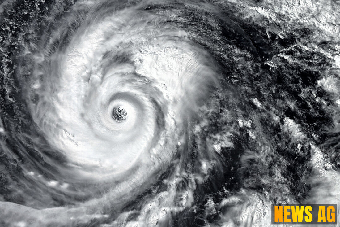
Tropical Storm Chantal Intensifies, Expected to Hit South Carolina Coast

Myrtle Beach, South Carolina, USA - As the summer unfolds along the Atlantic coast, we find ourselves on alert due to the formation of Tropical Storm Chantal. This came into focus on July 5 at 8 am EST, when the National Hurricane Center (NHC) upgraded a tropical depression off the Northeast Florida coast to a full-blown storm. According to the Boca Raton Tribune, Chantal is poised to make its presence felt near Myrtle Beach, South Carolina, as what’s being dubbed a minimal tropical storm.
Chantal was located at latitude 30.9 North and longitude 79.0 West, just south-southeast of Charleston, approximately 150 miles off the South Carolina coast. Currently, the storm is crawling northward at about 2 mph, but a shift towards the north-northwest is expected later today. By Sunday night, anticipations are for it to turn northeast and cross into South Carolina by Sunday morning, with maximum sustained winds reported at around 40 mph, offering gusts that could be even stronger. It’s important to note that tropical-storm-force winds are reaching outward up to 70 miles, primarily affecting areas to the east of the storm’s center.
Warnings and Preparations
The alert levels are rising, with watches and warnings issued for coastal regions spanning from North to South Carolina, particularly south of the Cape Fear River. According to CBS News, tropical storm warnings have been set from the South Santee River, South Carolina, all the way to Cape Fear, North Carolina. For residents from Edisto Beach to the South Santee River, a tropical storm watch is now in effect.
But that’s not all; this storm may bring heavy rain as well, with estimates showing that some coastal areas might see between two to four inches, and isolated spots could even receive up to six inches. This could lead to localized flash flooding, so homeowners and businesses are urged to prepare accordingly.
The Bigger Picture
Let’s not lose sight of the wider context here. The Atlantic hurricane season, which runs from June 1 to November 30, is just getting started. As noted by the NHC, peak activity typically occurs between mid-August and mid-October. NOAA forecasts a 60% chance for an „above-normal“ hurricane season, predicting between 13 to 19 named storms, with six to ten potentially strengthening into hurricanes and three to five becoming major storms.
For those interested in more detailed forecasts and historical data regarding tropical systems, the NHC provides an extensive array of resources. Their archive includes everything from past storm statistics to current advisories, ensuring both residents and researchers have the info they need to stay informed. Explore this wealth of data at the NHC’s website.
As we keep a close eye on Chantal, now’s the time for Floridians and all coastal residents to stay updated, keep preparations light, and remain resilient. After all, summer storms are as much a part of our landscape as the beaches we enjoy. Let’s weather this together!
| Details | |
|---|---|
| Ort | Myrtle Beach, South Carolina, USA |
| Quellen | |
