Saharan Dust Looms Over Florida: Impacting Weather and Air Quality

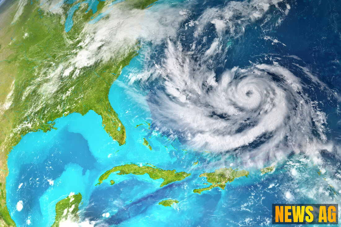
Milton, Florida, USA - As residents across Florida gear up for the peak of hurricane season, they’re already feeling the effects of a significant weather pattern: the Saharan Dust. Currently, this fine, dry dust from the Sahara Desert is covering large portions of South Florida, leading to hazy skies and a reduction in air quality. As of June 13, 2025, a plume of Saharan Dust has settled over the region, which has curtailed rainfall chances and contributed to a sluggish start to tropical activity this month. As noted by TCPalm, the balance of activity in the Atlantic Ocean has been notably quiet due to this dust and sustained wind shear.
The National Hurricane Center has been keeping a watchful eye on three tropical waves currently stirring the waters:
- Tropical wave 1: Located near 32W from 15N southward, moving westward at 11 mph.
- Tropical wave 2: Situated over the eastern Caribbean Islands at 61.5W from 18N southward, moving at speeds of 11 to 17 mph.
- Tropical wave 3: Found near 80W, southwest of Jamaica, also moving westward at around 11 to 17 mph.
The average date for the first named storm in the Atlantic sits at June 20, and despite earlier signs that October could be active, restrictions from both the SAL and wind shear suggest that conditions may not yet be ripe for development.
Understanding Saharan Dust’s Impact
The Saharan Dust plays a critical role in the dynamics of the Atlantic hurricane season. This phenomenon often limits the development of tropical systems by introducing a dry layer of air into the atmosphere and increasing wind shear. As reported by Weather.com, the ongoing presence of Saharan Air Layers (SALs) can keep the storm count down, particularly during the summer months when these dust plumes frequently cross the Atlantic.
Each year, approximately 800 million metric tons of this dust makes its way from North Africa to the Atlantic, acting almost like nature’s buffer against hurricanes. The SAL, measuring about two miles thick, can lead to reduced moisture levels and less favorable conditions for cyclone development. As this dry, warm air moves over the waters, it also tends to cool ocean temperatures and inhibit the intensity of storms.
In addition to weather implications, the Saharan Dust is impacting air quality. Residents might notice that lingering dust causes hazy skies, colorful sunrises and sunsets, and potentially triggers respiratory issues for those with asthma or similar conditions. This season’s surge is noted to be the most substantial in over two years, and its presence is expected to stick around through the week of June 16. Florida and parts of Texas are bracing for the weekend impacts that this dust plume brings, as reflected by EarthSky.
Looking Ahead
As we move deeper into this hurricane season, the interplay between the Saharan Dust and tropical cyclone development will be key to observe. Although the season traditionally ramps up around September, when 82% of hurricane activity typically occurs, it’s wise for Floridians to stay informed. A pattern of SALs each summer, particularly between late June and mid-August, usually leads to a quieter early season. It won’t be until conditions temporarily shift that we might see a rise in storm activity.
So, while June 20 approaches with anticipation for the first named storm, only time will tell how much the dust will influence whether we will need our emergency kits ready this summer. For now, residents are reminded to take necessary precautions for air quality and to stay engaged with updates from weather authorities.
| Details | |
|---|---|
| Ort | Milton, Florida, USA |
| Quellen | |
