Florida Braces for Heavy Rain: Storm Threats Loom This Week!

Sarasota, Florida, USA - As we dive into July, Florida is facing a weather shift from a prolonged dry spell to an influx of moisture that’s set to drench the state. According to MySuncoast, conditions are poised to change significantly, especially as we move into the end of the week. High pressure has kept the breezes light and the storms few, mostly lingering inland on Saturday, but from Sunday onward, expect a surge of deep tropical moisture that will blanket the region with clouds and widespread thunderstorms.
Heavy rain appears imminent, bringing with it the potential for localized flooding, particularly in areas that struggle to drain. The atmosphere is primed for rain with expected precipitable water values exceeding 2.25 inches, which indicates plentiful moisture ready to fuel these storms. It’s a mix of excitement and concern as residents are reminded to prepare for the challenges that come with such downpours.
Storm Activity on the Horizon
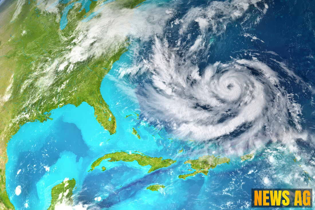
The National Hurricane Center (NHC) is currently monitoring a broad area of low pressure near the Southeast U.S. coastline, with a 20% chance of it developing into a tropical system in the next week. This disturbance is playing a major role in the rising moisture levels throughout Florida. If this system earns a name, it will be dubbed Dexter. The forecasts predict an uptick in storm activity beginning Sunday, paving the way for a wet and stormy Monday and Tuesday.
From Monday through Wednesday, Floridians can expect bouts of heavy rainfall, and street flooding could become a genuine concern, particularly on Monday and Tuesday. Rain-cooling high temperatures will hover in the upper 80s to near 90 degrees, plus flash flood risks may pop up as rainfall totals could reach an impressive 4-8 inches, with some localized spots even experiencing heavier amounts. In light of this, residents should check their storm drains, remain vigilant on the roads, and keep updated about the evolving weather conditions.NHC provides a robust wealth of information that can help residents stay ahead of the storm.
A Closer Look at Hurricane Season
The Atlantic hurricane season officially runs from June 1st to November 30th, and while it’s been relatively calm so far, history shows that major storms are more likely to emerge as we approach mid-August. According to Track the Tropics, tropical cyclones are classified based on their wind speeds, with tropical storms beginning at 39 mph and hurricanes starting from 74 mph. It’s fascinating to see how these systems evolve, but they do also present real dangers for communities across the Gulf Coast.
In the context of Florida’s weather, the potential for storms like Dexter serves as a timely reminder of the importance of preparedness during hurricane season. Statistics highlight that the peak activity for hurricanes often occurs between mid-August and late October. For residents, understanding both the meteorological patterns at play and the historical hurricane data can be key in preparation for the unpredictable nature of mother nature.
As we watch our skies darken and the winds pick up, let’s stay informed and ready. Whether it’s pulling out the rain gear, securing loose items in the yard, or just keeping track of the forecast, there’s something to be said for taking these precautions. After all, a little preparation goes a long way when the skies start to open up.
| Details | |
|---|---|
| Ort | Sarasota, Florida, USA |
| Quellen | |
