
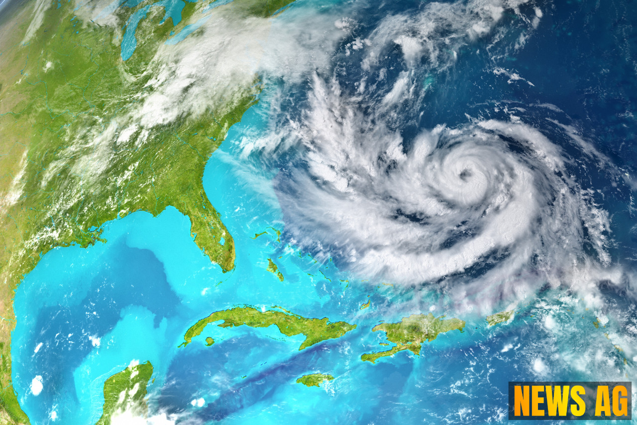


The ever-changing weather patterns in Florida, coupled with the state’s vulnerability to hurricanes, pose significant threats to agriculture. In fact, researchers from the University of Florida (UF) have reported an astonishing $975.8 million loss in agricultural production caused by three hurricanes in 2024 alone. With data on crop damage often emerging slowly after a storm, days could pass before farmers get a clear picture of their losses. Thankfully, help is on the horizon as researchers at UF’s Institute of Food and Agricultural Sciences are busy developing an artificial intelligence tool specifically for farmers to address this challenge.
This innovative system offers a chat-based interface that enables farmers to obtain near-real-time information about their crops using satellite imagery. Nikos Tziolas, the lead scientist on the project, likens the tool’s functionality to the popular ChatGPT, allowing farmers to ask questions such as, “What areas are flooded in my field?” or “How does my crop health compare to last year after the event?” WUSF highlights that this tool has a robust cyber infrastructure, ensuring automatic data downloads and processing across the state, making it user-friendly for farmers and agricultural extension agents alike.
A New Era of Precision Agriculture
In addition to the new AI tool, advancements in precision agriculture are transforming farming practices. By utilizing geospatial technologies, farmers can now map variations in crop and soil conditions, leading to a more targeted approach in applying inputs like water, seeds, and fertilizers. This information is compiled into zone maps that showcase the differences between healthy and stressed plants, a process that has become increasingly intricate thanks to both ground and aerial sensors.

Historically, satellite remote sensing faced hurdles like long revisit times and cloud cover that limited data availability. However, recent advances in satellite technology have significantly improved these conditions, providing high-resolution imagery essential for tasks like monitoring nutrient stress and weed detection. For instance, the launch of NASA’s Landsat-8 in February 2013 and the subsequent appearance of numerous commercial Earth observation satellites have dramatically enhanced data access. As outlined by XYHT, these developments enable farmers to make data-driven decisions that can drastically improve their yields and sustainability.
The Path Forward
With Florida’s farmers gearing up for hurricane season, the AI tool developed by UF is expected to be operational and widely available soon. The prototype will be piloted at farms in Immokalee and Ona, gathering feedback from farmers over the next six months. The aim is to ensure that the technology meets the real needs of those on the ground. Meanwhile, the ongoing evolution of precision agriculture continues to offer a silver lining, providing farmers with an arsenal of tools to better manage their crops.
As Florida’s agricultural sector navigates the complexities of climate challenges, these cutting-edge solutions promise to empower farmers with timely information, helping them to mitigate losses and optimize production. It’s a developing story worth watching, and there’s certainly something to be said for that.
For further insights on precision agriculture and technology’s role in farming, check out this exploration of the subject on iGrow.