
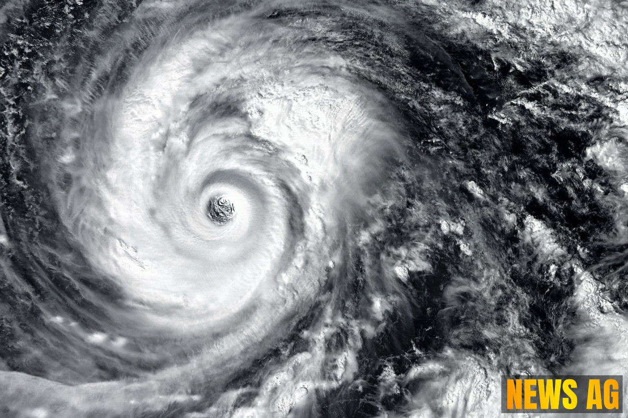


A weather disturbance is making its presence felt across Florida, particularly in Lee County, where residents can expect substantial rainfall starting July 17. The National Weather Service (NWS) in Ruskin is currently monitoring this situation, forecasting a 40% chance that the system could develop into a tropical disturbance. According to News-Press, anticipated rainfall totals over the next two days are between 1 to 3 inches, along with thunderstorms and lightning—a familiar summer scenario in Florida.
This disturbance, identified as a disorganized area of low pressure, is predicted to move toward Louisiana later in the week. Until then, it’s expected to linger over northeast Florida, with weather conditions escalating significantly. The NWS predicts an alarming 80% chance of thunderstorms on Wednesday, peaking to 90% on Thursday, when temperatures are expected to hit a sweltering 90 degrees.
Impact on Local Conditions
The need for rain is pressing in this part of Florida, as rainfall this summer has been below normal, creating abnormally dry conditions in Lee County. The National Oceanic and Atmospheric Administration (NOAA) notes that parts of Lee County are still grappling with moderate drought conditions. Meanwhile, Collier County will experience similar weather patterns but is likely to see lower rainfall totals.

Lightning presents a considerable risk during these rain events, a common danger in Florida’s tropical weather. The disturbance is scheduled to exit the area into the Gulf on July 16, moving towards Louisiana, where additional rainfall is also anticipated. As the system continues to develop, the environmental conditions could become more favorable, including the potential for a tropical depression as it crosses the northeastern Gulf.
Anticipation of Future Weather Trends
Residents are advised to remain vigilant as heavy rainfall may lead to localized flash flooding through Wednesday. As per the forecast from the NWS, flash flooding is possible not only in Florida but also along portions of the north-central Gulf Coast from Wednesday to Friday. The current formation chances for the disturbance are rated at 40% within the next 48 hours and the same percentage over the next week, a modest potential that keeps meteorologists on alert.
The question of hurricane season is also at play; Florida is often considered the most vulnerable state in the USA to hurricanes and tropical storms. As highlighted by the Florida Climate Center, hurricane season runs from June 1 to November 30, with factors like El Niño and La Niña influencing storm activity. Interestingly, El Niño years typically see less hurricane activity due to warmer Pacific waters, while La Niña years can double the probability of major hurricanes making landfall on the U.S. coast.
With over 1,200 miles of coastline along the Atlantic Ocean and Gulf of Mexico, Florida must always be prepared for the unexpected. Communities are encouraged to stay informed through reliable forecasts and resources, as the weather can be unpredictable. The current disturbance might just be a small taste of what could come as the hurricane season progresses.
In summary, whether it’s preparing for rain or bracing for potential tropical activity, Floridians know all too well that there’s something to be said for being weather-ready. The alerts and forecasts serve as vital reminders to remain proactive during this busy time of year.