As summer rolls into full swing, residents of Northeast Florida and Southeast Georgia find themselves bracing for isolated thunderstorms, as News4Jax reports. These storms are expected to pick up in intensity as the evening approaches, making their way westward near the I-10/I-75 corridor. It’s crucial to stay alert, especially since a flood advisory is currently in effect for downtown Duval and its surrounding areas until 5:00 PM. The affected areas include regions from MLK north to Bowden south, Riverside west to Arlington east.
With the possibility of flash flooding, heavy downpours, lightning, and gusty winds, locals should take precautions to avoid any mishaps. The storms are predicted to continue through the evening and then shift west. Although Tropical Storm Barry has been generating heavy rain and flash flooding in parts of Eastern Mexico for several days, thankfully, it is not expected to affect the United States at this time. However, long-term models are hinting at a potential low-pressure system that could develop by the week’s end, possibly taking a tropical or subtropical form as it drifts into the Gulf of Mexico, with only a 20% chance of formation over the next week.
Understanding Storm Events
According to the National Centers for Environmental Information, the Storm Events Database serves as an official account of occurrences of storms and notable weather phenomena that can cause a range of impacts, from loss of life and injuries to significant property damage. The database has a storied history, documenting rare weather events, including even unexpected snow flurries in South Florida, spanning back to 1950.
It’s not just storms that are recorded; the database captures record temperatures and other unusual meteorological phenomena, making it an invaluable resource for understanding the trends in our climate. Those interested can even register for updates on data issues or new features, ensuring they remain informed about troubling weather patterns.
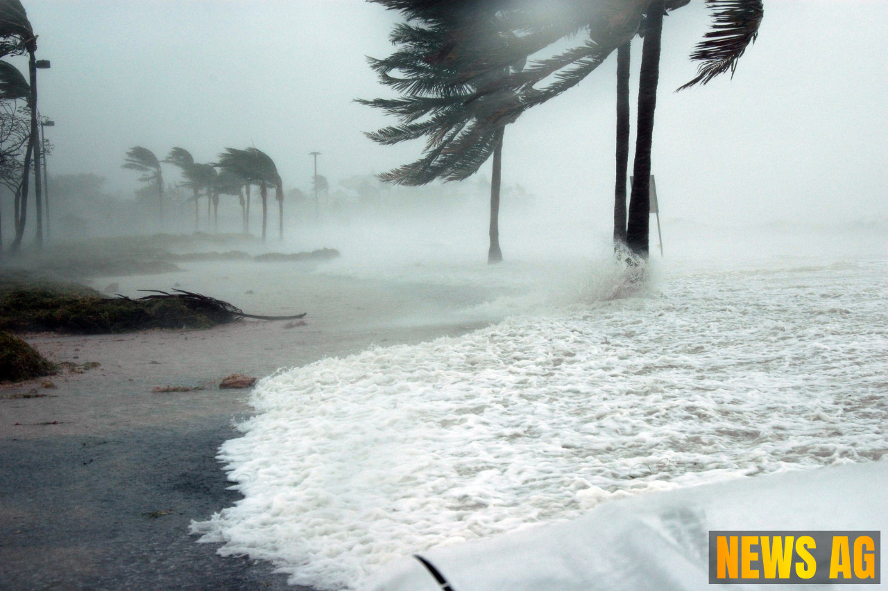
Hurricane Preparedness
With hurricane season officially underway, it’s wise to familiarize oneself with information provided by the National Hurricane Center. The NHC provides detailed Tropical Cyclone Reports that include synoptic history and meteorological statistics, documenting every storm from the Atlantic to the Pacific. Such reports are essential for tracking storm activity and understanding potential impacts on our area.
The NHC’s extensive archives go back to the late 1800s, offering insights into the deadliest and costliest hurricanes over the years. It’s also worth noting that monthly summaries of tropical cyclone activity are released at the end of each month during hurricane season, providing crucial data that helps communities prepare and respond effectively.
As we navigate through the unpredictable summer weather, it’s wise to remain vigilant. Keep those emergency kits stocked and stay tuned to local alerts, so when the storms do roll in, you are well-prepared. In these times, knowledge truly is power, and there’s something to be said for being well-informed!