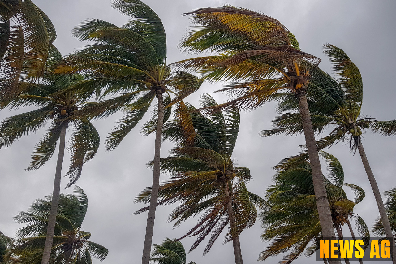
The weather forecast for Florida this week signals a tumultuous period, bringing potential storms and flooding to both the mainland and the Sunshine State’s beautiful Keys. On Wednesday, expect more clouds than sun as showers and storms make their presence felt across the mainland. Localized flooding might pose a challenge, especially from midafternoon to early evening, according to South Florida Reporter. Meanwhile, the Keys will see clouds and showers, with high temperatures expected to linger in the upper 80s.
As we look to Thursday, it’s a similar tune—a gusty breeze stirs up clouds along with more showers and storms on the mainland. For those in the east coast metro area, you can anticipate highs creeping into the low 90s. In contrast, folks along the Gulf Coast and in the Keys can enjoy the upper 80s under a blanket of clouds.
Stormy Developments Ahead
By Friday, there will be a mix of sun and clouds, but do brace for mostly afternoon showers and storms again on the mainland. The Gulf Coast will feel the gusty breeze, while the Keys remain mostly sunny with just a few passing showers. Temperatures will mirror Thursday’s, with low 90s on the mainland and upper 80s in the Keys.
Saturday brings the promise of plenty of sunshine punctuated by periods of showers and storms for the mainland. The Keys, basking in sunny spells, will also see highs similar to earlier in the week. Come Sunday, that quintessential summertime mix of sun, showers, and storms will continue to dominate the weather scene across the state.
A Tropical Rainstorm Threat Looms
Adding to these forecasts, AccuWeather is tracking a developing tropical rainstorm that could bring dangerous flooding to Florida and parts of the Gulf Coast, extending its reach into southern Alabama, Mississippi, and Louisiana. The initial phases of this rainstorm pose a risk of flash flooding in Florida before it journeys into the Gulf, with forecasts suggesting it may strengthen into a depression as it approaches Louisiana.
Forecasted rainfall totals are alarming, with predictions of 4 to 8 inches across various areas, and possibly up to 16 inches in some spots. This heavy rain raises concerns over widespread flooding. On top of that, wind speeds could escalate to 40-50 mph, with gusts reaching as high as 60 mph closer to the Louisiana coast.
Potential Risks and Precautions
The storm’s impact is classified as a level 1 on the AccuWeather RealImpact™ Scale for Hurricanes, warning of localized flooding, damage to unanchored mobile homes, and possible power outages. While it seems the Texas Hill Country will dodge this system, it’s worth noting how the 2025 Atlantic hurricane season is running ahead of schedule, with the usual fourth named storm expected by mid-August. Recent storms, like Tropical Storm Chantal, have already wreaked havoc, causing billions in damage due to flooding in the Carolinas.
In addition to the looming rainstorm, Florida Storms emphasizes the forecast of heavy rain statewide starting Saturday. Water spouts and rip currents might also pose hazards along the coast, making it crucial for residents and vacationers alike to prepare adequately. The National Hurricane Center is gearing up for close monitoring, promising updates every 12 hours until a more definitive forecast can be established.
As we brace for the weather ahead, staying informed and prepared is key. After all, the Florida climate can shift on a dime, and while the skies might be clear one moment, a storm can swiftly change the game. Better keep your raincoats handy!


